Waipawa River
| Waipawa River | |
|---|---|
 Waipawa town and river in 1885 | |
Route of the Waipawa River | |
  Mouth of the Waipawa River 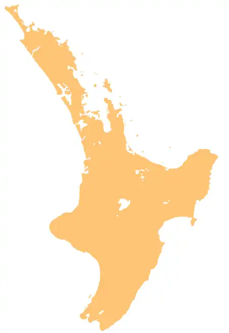 Waipawa River (North Island) | |
| Native name | Waipawa (Māori) |
| Location | |
| Country | New Zealand |
| Island | North Island |
| Region | Hawke's Bay |
| District | Central Hawke's Bay |
| Physical characteristics | |
| Source | Ruahine Range |
| • location | Between Waipawa Saddle and Three Johns Peak |
| • coordinates | 39°48′39″S 176°09′07″E / 39.81078°S 176.15182°E |
| • elevation | 1,687 m (5,535 ft) |
| Mouth | Tukituki River |
• coordinates | 39°58′26″S 176°38′06″E / 39.974°S 176.635°E |
• elevation | 120 m (390 ft) |
| Length | 57 km (35 mi) |
| Basin features | |
| Progression | Waipawa River → Tukituki River → Tukituki Estuary → Hawke Bay → Pacific Ocean |
| Cities | Waipawa |
| Tributaries | |
| • left | Mangataura Stream, Mākaroro River, Mangaonuku Stream |
| • right | Middle Stream, Smith Stream |
| Bridges | Pendle Hill Road Bridge, Wakarara Road Bridge, Waipawa River Bridge (670, State Highway 50), Waipawa River Bridge (7138, State Highway 2), Waipawa Railway Bridge |
The Waipawa River is a braided river of southern Hawke's Bay, in New Zealand's eastern North Island.[1] It flows southeast from the slopes of 1,687 m (5,535 ft) Te Atuaoparapara (once known as 'Sixty-six')[2] in the Ruahine Range, past the town of Waipawa, before joining the Tukituki River.[3]
Geography
The river rises at the 1,326 m (4,350 ft) Waipawa Saddle, which is also the source of the Waikamaka River.[4] The Mangaonuku Stream is a tributary on the northern bank, west of Waipawa, near Ruataniwha.[5] It flows across the Ruataniwha Plains into the Tukituki River.[6] The Waipawa's flow is generally greater than that of the Tukituki River.[7]
The Old Bed of Waipawa River flows roughly parallel with and north of the present Waipawa River to join the Tukituki through the Papanui Stream, south west of Lake Poukawa.[8] The Waipawa changed its course during a flood in 1868.[9] It reverted to its old course during Cyclone Gabrielle in February 2023, until the Coronation Park stop bank in Waipawa was repaired on 16 February, returning the Waipawa to its post-1868 course.[10]
River quality is sampled at the SH50 bridge. At that site its Macroinvertebrate Community Index is C (of grades A to D) and likely degrading, but it is in the best 25% of rivers for most samples, except clarity. In warm weather cyanobacteria sometimes develop.[11] Other main routes crossing the river are SH2 and the Palmerston North–Gisborne railway at Waipawa.[12]
Biodiversity
There are hundreds of banded dotterel (pohowera) and pied stilt around the river.[1]
History
The river has cultural significance to Ngāti Kahungunu, including Heretaunga Tamatea. The river is associated with the ancestor Te Whatuiapiti, and was a traditional access point for the resources of the Ruahine Range. It is the location of many archaeological sites and traditional pā and kāinga, including Te Pari-o Koro pā, Tukipoho pā and Motu-o-Puku pā.[6]
Recreation
Waipawa Forks Hut provides accommodation close to the headwaters of the river.[13] On the ridge to the north, above the headwaters, is Sunrise Hut. It is the most popular hut in the Ruahine Park and was renovated in 2020.[14] A day walk is possible, via Sunrise and the Saddle.[15]
References
- 1 2 "Waipawa River" (PDF). Hawkes Bay Regional Council. 2018.
- ↑ "Te Atuaoparapara". gazetteer.linz.govt.nz. Retrieved 19 August 2021.
- ↑ "Te Atuaoparapara, Manawatu-Wanganui". NZ Topo Map. Retrieved 18 August 2021.
- ↑ "Waipawa Saddle, Hawke's Bay". NZ Topo Map. Retrieved 18 August 2021.
- ↑ "Ruataniwha, Hawke's Bay". NZ Topo Map. Retrieved 19 August 2021.
- 1 2 Drury, Charlotte (26 May 2022). Reported Cultural Values of Tukituki Catchment (PDF) (Report). View Research and Resource Management. Retrieved 14 August 2026.
- ↑ "Recreational River Survey. Water & soil miscellaneous publication no. 13 (1981)" (PDF). NIWA.
- ↑ "Old Bed of Waipawa River, Hawke's Bay". NZ Topo Map. Retrieved 19 August 2021.
- ↑ "LATEST TELEGRAMS. HAWKE'S BAY HERALD". paperspast.natlib.govt.nz. 27 June 1868. Retrieved 19 August 2021.
- ↑ "Central Hawke's Bay District Council". www.facebook.com. 16 February 2023. Retrieved 27 February 2023.
- ↑ "Waipawa Rv at SH50 River Quality". Land, Air, Water Aotearoa (LAWA). Retrieved 18 August 2021.
- ↑ "Waipawa, Wellington". NZ Topo Map. Retrieved 18 August 2021.
- ↑ "Waipawa Forks Hut". Department of Conservation. Retrieved 19 August 2021.
- ↑ "Popular Sunrise Hut revamped". Department of Conservation. Retrieved 19 August 2021.
- ↑ "A challenging day tramp in the Ruahine Ranges". Napier Tramping Club. 2 December 2017. Retrieved 19 August 2021.