Mangatewai River
| Mangatewai River | |
|---|---|
Route of the Mangatewai River | |
  Mouth of the Mangatewai River 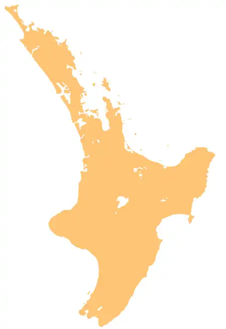 Mangatewai River (North Island) | |
| Native name | Mangatewai (Māori) |
| Location | |
| Country | New Zealand |
| Island | North Island |
| Region | Hawke's Bay |
| District | Central Hawke's Bay |
| Physical characteristics | |
| Source | Mangatewai Stream North Branch |
| • coordinates | 39°57′04″S 176°09′51″E / 39.9511°S 176.16418°E |
| 2nd source | Mangatewai Stream South Branch |
| • coordinates | 39°58′05″S 176°08′51″E / 39.96801°S 176.14745°E |
| Mouth | Tukipō River |
• coordinates | 39°58′56″S 176°20′56″E / 39.9821°S 176.34889°E |
| Length | 22 km (14 mi) |
| Basin features | |
| Progression | Mangatewai River → Tukipō River → Tukituki River → Tukituki Estuary → Hawke Bay → Pacific Ocean |
| Tributaries | |
| • left | Rākautihiau Stream |
| Bridges | Mangatewai River Bridge (857) |
The Mangatewai River is a river of the Hawke's Bay Region of New Zealand's North Island. It flows generally east from the Ruahine Range to reach the Tukipō River (itself a tributary of the Tukituki River) 5 kilometres (3 mi) north of the township of Takapau.[1] The Mangatewai River should not be confused with its southern neighbour, the Mangatewainui River.
Geography
The river begins in two different branches, the Mangatewai Stream North Branch and the Mangatewai Stream South Branch.[2][3]
See also
References
- ↑ "Place name detail: Mangatewai River". New Zealand Gazetteer. Land Information New Zealand. Retrieved 7 August 2026.
- ↑ "Place name detail: Mangatewai Stream South Branch". New Zealand Gazetteer. Land Information New Zealand. Retrieved 7 August 2026.
- ↑ "Place name detail: Mangatewai Stream North Branch". New Zealand Gazetteer. Land Information New Zealand. Retrieved 7 August 2026.