Tukipō River
| Tukipō River | |
|---|---|
 The Tukipō River in Hawkes Bay, New Zealand, seen from Ashcott Road | |
Route of Tukipō River | |
  Mouth of Tukipō River 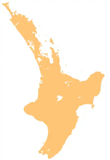 Tukipō River (North Island) | |
| Location | |
| Country | New Zealand |
| Island | North Island |
| Region | Hawke's Bay |
| District | Central Hawke's Bay |
| Physical characteristics | |
| Source | |
| • coordinates | 39°54′27″S 176°12′10″E / 39.90743°S 176.20281°E |
| Mouth | Tukituki River |
• coordinates | 39°58′31″S 176°29′55″E / 39.97515°S 176.49858°E |
| Basin features | |
| Progression | Tukipō River → Tukituki River → Tukituki Estuary → Hawke Bay → Pacific Ocean |
| Tributaries | |
| • left | Avoca River |
| • right | Parikaka Stream, Tāngarēwai Stream, Mangatewai River, Mangapohio Stream, Mākāretu River |
| Bridges | Tukipō Stream Bridge (831) |
The Tukipo River is a river of the southwest Hawke's Bay region of New Zealand's North Island. It flows east from its origins in the Ruahine Range to reach the Tukituki River 5 km (3.1 mi) west of Waipukurau.[1]
History
The river has cultural significance to Ngāti Kahungunu. The ancestor Hikarerepari first settled in the area, and his great-grandson Te Whatuiapiti constructed the pā Pōhatunui-a-Toru in the upper reaches of the river.[2]
See also
References
- ↑ "Place name detail: Tukipō River". New Zealand Gazetteer. Land Information New Zealand. Retrieved 6 August 2026.
- ↑ Drury, Charlotte (26 May 2022). Reported Cultural Values of Tukituki Catchment (PDF) (Report). View Research and Resource Management. Retrieved 14 August 2026.