Mangatainoka River (Hawke's Bay)
| Mangatainoka River | |
|---|---|
Route of the Mangatainoka River | |
  Mouth of the Mangatainoka River 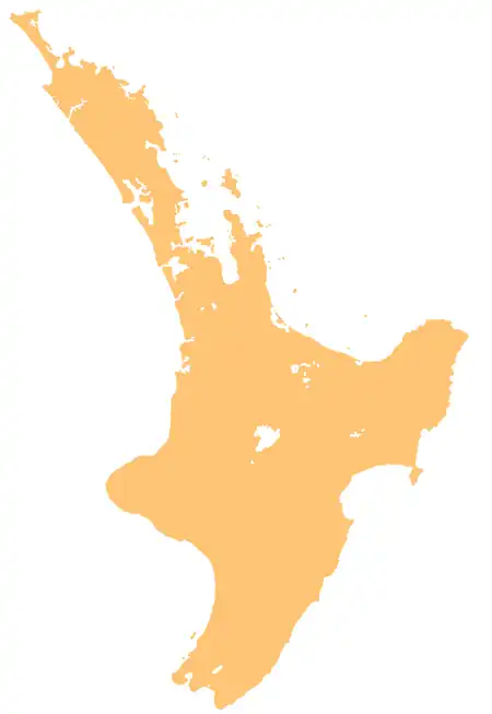 Mangatainoka River (Hawke's Bay) (North Island) | |
| Native name | Mangatainoka (Māori) |
| Location | |
| Country | New Zealand |
| Island | North Island |
| Region | Hawke's Bay |
| District | Taupō District, Hastings |
| Physical characteristics | |
| Source | |
| • coordinates | 39°10′31″S 176°15′45″E / 39.17519°S 176.26259°E |
| Mouth | Mōhaka River |
• coordinates | 39°09′44″S 176°23′41″E / 39.16226°S 176.3947°E |
| Basin features | |
| Progression | Mangatainoka River → Mōhaka River → Hawke Bay → Pacific Ocean |
| River system | Mōhaka River |
The Mangatainoka River is a river of the centre of New Zealand's North Island. A tributary of the Mōhaka River, it flows generally east from its source in the Kaweka Forest Park.[1]
Geography
The mouth of the Mangatainoka River is located at the border between the Hastings District and a section of the Taupō District found in the Hawke's Bay Region.[1]
History
In 1966, the Mangatainoka Hut, a Department of Conservation hut, was constructed near the banks of the river.[2]
See also
References
- 1 2 "Place name detail: Mangatainoka River". New Zealand Gazetteer. Land Information New Zealand. Retrieved 30 June 2026.
- ↑ "Mangatainoka Hut". Department of Conservation. Retrieved 30 June 2026.