Taharua River
| Taharua River | |
|---|---|
Route of the Taharua River | |
  Mouth of the Taharua River 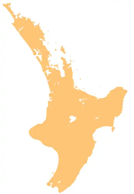 Taharua River (North Island) | |
| Native name | Taharua (Māori) |
| Location | |
| Country | New Zealand |
| Island | North Island |
| Region | Hawke's Bay |
| District | Taupō |
| Physical characteristics | |
| Source | |
| • location | Taharua |
| • coordinates | 38°54′29″S 176°16′26″E / 38.9081°S 176.27383°E |
| Mouth | Mōhaka River |
• coordinates | 39°04′49″S 176°18′06″E / 39.080391°S 176.301792°E |
| Basin features | |
| Progression | Taharua River → Mōhaka River → Hawke Bay → Pacific Ocean |
| River system | Mōhaka River |
| Tributaries | |
| • left | Te Waiotewhana Stream, Motupotako Stream |
| • right | Omomoko Stream, Haehaeharakeke Stream, Waione Stream, Ngararanui Stream, Mangatoatoa Stream, Mangatamingimingi Stream, Ohaoko Stream, Te Whata Manawanui Stream |
| Waterfalls | Te Rere Falls |
The Taharua River is a river of the northwestern Hawke's Bay region of New Zealand's North Island. It flows south from its origins 25 kilometres southwest of Taupō to reach the Mohaka River of which it is one of the earliest tributaries.[1]
See also
References
- ↑ "Place name detail: Taharua River". New Zealand Gazetteer. Land Information New Zealand. Retrieved 29 June 2026.