Mokomokonui River
| Mokomokonui River | |
|---|---|
Route of the Mokomokonui River | |
  Mouth of the Mokomokonui River 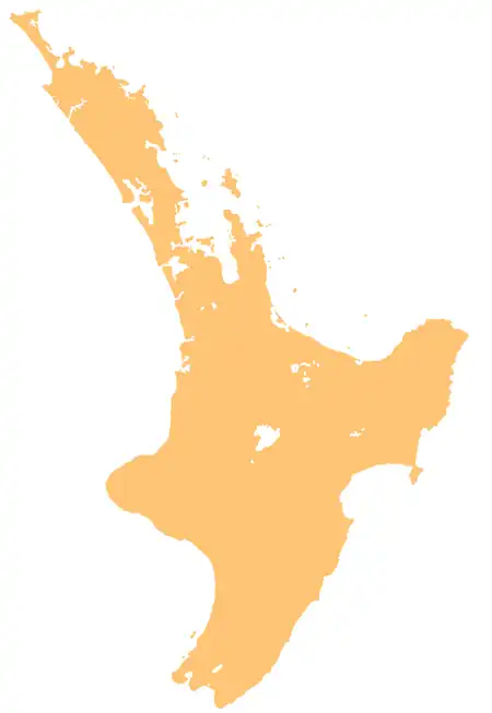 Mokomokonui River (North Island) | |
| Native name | Mokomokonui (Māori) |
| Location | |
| Country | New Zealand |
| Island | North Island |
| Region | Hawke's Bay |
| District | Hastings |
| Physical characteristics | |
| Source | |
| • coordinates | 38°58′54″S 176°41′46″E / 38.98176°S 176.69621°E |
| Mouth | Waipunga River |
• coordinates | 39°02′55″S 176°35′18″E / 39.04868°S 176.58845°E |
| Length | 16 km (9.9 mi) |
| Basin features | |
| Progression | Mokomokonui River → Waipunga River → Mōhaka River → Hawke Bay → Pacific Ocean |
| River system | Mōhaka River |
| Tributaries | |
| • right | Mokomokomā Stream, Paewai Stream, Moose Stream, Matakuhia Stream |
The Mokomokonui River, also known as the Mokomokonui Stream, is a river of the Hawke's Bay Region of New Zealand's North Island.[1] It flows generally southwest from its sources in several streams southwest of Lake Waikaremoana, and flows into the Waipunga River close to the settlement of Tarawera and State Highway 5.[2]
Geography
The Mokomokonui River is a tributary of the Waipunga River.[3] The Mokomokonui River adds enough water into the Waipunga River that the river becomes navigable by waka south of this point.[4]
The Mokomokonui River meets the Waipunga River at the location of two reserves: the Waipunga Recreation Area and the Tarawera South Conservation Area.
See also
References
- ↑ "Place name detail: Mokomokonui Stream". New Zealand Gazetteer. Land Information New Zealand. Retrieved 7 July 2026.
- ↑ "Mokomokonui River, Hawke's Bay". NZ Topo Map. Retrieved 28 May 2025.
- ↑ "Mokomokonui River upstream of Waipunga River". Land Air Water Aotearoa. Retrieved 7 July 2026.
- ↑ Egarr, G. D.; Egarr, J. H. (1981). New Zealand Recreational River Survey Part II North Island Rivers (PDF) (Report). Water & Soil Division, Ministry of Works and Development. p. 78. ISSN 0110-4705.