Moeangiangi River
| Moeangiangi River | |
|---|---|
Route of the Moeangiangi River | |
  Mouth of the Moeangiangi River 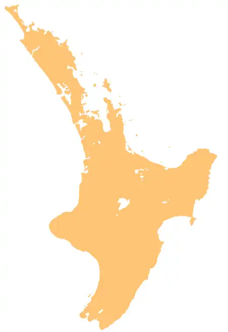 Moeangiangi River (North Island) | |
| Native name | Moeangiangi (Māori) |
| Location | |
| Country | New Zealand |
| Island | North Island |
| Region | Hawke's Bay |
| District | Hastings Taupo |
| Physical characteristics | |
| Source | Rocky Range |
| • coordinates | 39°12′23″S 176°57′07″E / 39.20645°S 176.95181°E |
| Mouth | Hawke Bay |
• coordinates | 39°14′45″S 177°01′19″E / 39.2458°S 177.02208°E |
| Length | 14 km (8.7 mi) |
| Basin features | |
| Progression | Moeangiangi River → Hawke Bay → Pacific Ocean |
| River system | Hawke Bay |
| Tributaries | |
| • left | Kiakia Stream |
The Moeangiangi River is a river of the Hawke's Bay region of New Zealand's North Island. It flows east from Rocky Range to the east of Lake Tutira to reach Hawke Bay 25 kilometres (16 mi) north of Napier.[1]
Biodiversity
The coastal cliff margins of the Moeangiangi River are dominated by native scrubland, including mānuka, harakeke flax, and tauhinu.[2]
History
The river mouth is a traditional food harvesting area for Maungaharuru Tangitū-associated hapū of Ngāti Kahungunu. Traditional fishing grounds off the coast of the Moeangiangi River mouth, where hāpuku, moki, tarakihi werecaught, and kaiō (sea tulips) were harvested for food and traditional medicine.[3]
See also
References
- ↑ "Place name detail: Moeangiangi River". New Zealand Gazetteer. Land Information New Zealand. Retrieved 9 July 2026.
- ↑ Haggitt, Tim; Wade, Oliver (21 June 2016). Hawke's Bay Marine Information: Review and Research Strategy (PDF) (Report). Hawke's Bay Regional Council. Retrieved 9 July 2026.
- ↑ Lawrence, Hayley; May, Kelly (2024). He Kāinga Taurikura o Tangitū (PDF) (Report). Maungaharuru Tangitū. Retrieved 9 July 2026.
Categories: