Avoca River (Hawke's Bay)
| Avoca River | |
|---|---|
Route of the Avoca River | |
  Mouth of the Avoca River 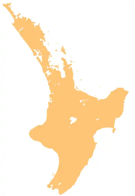 Avoca River (Hawke's Bay) (North Island) | |
| Location | |
| Country | New Zealand |
| Island | North Island |
| Region | Hawke's Bay |
| District | Central Hawke's Bay |
| Physical characteristics | |
| Source | |
| • coordinates | 39°54′08″S 176°13′43″E / 39.90233°S 176.22868°E |
| • elevation | 530 m (1,740 ft) |
| Mouth | Tukipō River |
• coordinates | 39°55′44″S 176°18′06″E / 39.92899°S 176.30159°E |
• elevation | 295 m (968 ft) |
| Length | 10 km (6.2 mi) |
| Basin features | |
| Progression | Avoca River → Tukipō River → Tukituki River → Tukituki Estuary → Hawke Bay → Pacific Ocean |
The Avoca River is a river in the southern Hawke's Bay region of New Zealand. It flows southeast through farmland to meet the Tukipō River at A'Deanes Reserve.[1][2]
See also
References
- ↑ New Zealand 1:50000 Topographic Map Series sheet BL37 – Ongaonga
- ↑ "Place name detail: Avoca River". New Zealand Gazetteer. Land Information New Zealand. Retrieved 6 August 2026.