Waikōau River (Hawke's Bay)
| Waikōau River | |
|---|---|
 The Waikoau Viaduct photographed in 1928 | |
Route of the Waikōau River | |
  Mouth of the Waikōau River 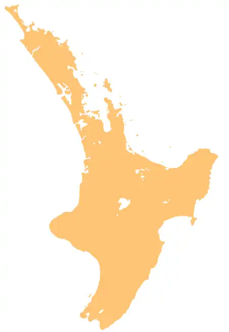 Waikōau River (Hawke's Bay) (North Island) | |
| Native name | Waikōau (Māori) |
| Location | |
| Country | New Zealand |
| Island | North Island |
| Region | Hawke's Bay |
| District | Hastings |
| Physical characteristics | |
| Source | Confluence of the Waikōau Stream and Mangaroa Stream |
| • coordinates | 39°09′57″S 176°49′01″E / 39.16573°S 176.81693°E |
| Mouth | Aropaoanui River |
• coordinates | 39°15′51″S 176°54′14″E / 39.26403°S 176.90394°E |
| Basin features | |
| Progression | Waikōau River → Aropaoanui River → Hawke Bay → Pacific Ocean |
| Tributaries | |
| • left | Mahiaruhe Stream, Tararere Stream |
| Bridges | Waikoau Viaduct, Waikōau Gorge Bridge, Waikōau Bridge |
The Waikōau River is a river of the Hawke's Bay Region of New Zealand's North Island. It flows south south-east from the confluence of the Waikōau Stream and Mangaroa Stream near Blue Lake. When it meets the Mairau Stream, the waterway forms the Aropaoanui River.[1]
Geography
The Waikōau Stream and Mangaroa Stream originate from the Maungaharuru Range.[2] Lake Tūtira and Lake Waikōpiro flow into Sandy Creek, a tributary of the Mahiaruhe Stream which flows into the river.[3][4] Traditionally, the Mahiaruhe Stream was considered two sections by Ngāti Kahungunu: Tūtira Stream, the outflow of Lake Tūtira, and south of the ford of Maheawha, known as the Maheawha Stream.[5] Lake Orakai, to the southwest of Lake Tūtira, flows into the Waikōau River.[6] Much of the river flows through farmlands, scrub and forestry,[7] with some sections being deeply carved gorges flowing through limestone.[8] The river flows underneath State Highway 2.[7]
Recreation
The river is used as a seasonal trout fishery.[7]
History
The river has traditional significance for Maungaharuru Tangitū-associated hapū of Ngāti Kahungunu.[2] The Waikoau Viaduct, a railway viaduct part of the Palmerston North–Gisborne Line, was constructed in 1928.[9]
See also
References
- ↑ "Place name detail: Waikōau River". New Zealand Gazetteer. Land Information New Zealand. Retrieved 13 July 2026.
- 1 2 Harper, Belinda; Meredith, Dale (2018). Outstanding Water Bodies Plan Change: Selecting a list of outstanding water bodies in Hawke’s Bay (PDF) (Report). Hawke's Bay Regional Council. Retrieved 13 July 2026.
- ↑ "Place name detail: Lake Tūtira". New Zealand Gazetteer. Land Information New Zealand. Retrieved 13 July 2026.
- ↑ "Papakiri Stm-Sandy Crk U/S Mahiaruhe Strm River Quality". Land, Air, Water Aotearoa (LAWA). Retrieved 13 October 2023.
- ↑ "The Maungaharuru-Tangito Hapu and The Trustees of The Maungaharuru-Tangito Trust and The Crown Deed of Settlement" (PDF).
- ↑ "Place name detail: Lake Orakai". New Zealand Gazetteer. Land Information New Zealand. Retrieved 13 July 2026.
- 1 2 3 "Northern Hawke's Bay". Fish & Game New Zealand. Retrieved 13 July 2026.
- ↑ Hawke's Bay Conservancy Conservation Management Strategy Volume 1 (PDF) (Report). Department of Conservation. October 1994. ISBN 0-478-01599-2. Retrieved 13 July 2026.
- ↑ "Important Steps East Coast Railway: Waikoau Viaduct Completed". Poverty Bay Herald. Vol. LIV, no. 16576. 17 February 1928. p. 5 – via Papers Past.