Tsumeb Airport
Tsumeb Airport | |||||||||||
|---|---|---|---|---|---|---|---|---|---|---|---|
 | |||||||||||
| Summary | |||||||||||
| Airport type | Public | ||||||||||
| Location | Tsumeb, Namibia | ||||||||||
| Elevation AMSL | 4,353 ft (1,327 m) | ||||||||||
| Coordinates | 19°15′40″S 17°43′50″E / 19.26111°S 17.73056°E | ||||||||||
| Map | |||||||||||
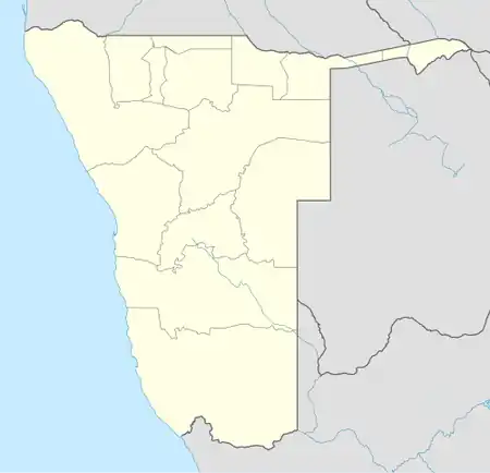  TSB Location of airport in Namibia | |||||||||||
| Runways | |||||||||||
| |||||||||||
| Source: DAFIF[1] GCM[2] Google Earth[3] | |||||||||||
Tsumeb Airport (IATA: TSB, ICAO: FYTM) is a public airport serving Tsumeb, a town in the Oshikoto Region of northern Namibia. The airport is just east of the town.[4] Tsumeb is the location of a former mining operation and is the closest town to the Etosha National Park.
The Tsumeb non-directional beacon (Ident: TM) is located on the field.[5][6]
See also
References
- ↑ Airport information for FYTM[link removed] from DAFIF (effective October 2006)
- ↑ "Airport information for TSB" – via Great Circle Mapper.
- ↑ Google Earth - Tsumeb
- ↑ "Aerial image showing locations of Tsumeb, airport and mine". WikiMapia. Retrieved 18 Feb 2010.
- ↑ "TM - TSUMEB". www.pilotnav.com. Retrieved 2018-08-21.
- ↑ "Tsumeb NDB (TM) @ OurAirports". ourairports.com. Archived from the original on 2017-12-30. Retrieved 2018-08-21.
External links

Wikimedia Commons has media related to Tsumeb Airport.
- "Current weather for FYTM". NOAA/NWS.
- OurAirports - Tsumeb Archived 2016-08-15 at the Wayback Machine