Katima Mulilo Airport
Katima Mulilo Airport Mpacha Airport | |||||||||||
|---|---|---|---|---|---|---|---|---|---|---|---|
 | |||||||||||
| Summary | |||||||||||
| Airport type | Public | ||||||||||
| Owner/Operator | Namibia Airports Co.[1] | ||||||||||
| Serves | Katima Mulilo, Namibia | ||||||||||
| Elevation AMSL | 3,144 ft (958 m) | ||||||||||
| Coordinates | 17°38′00″S 24°10′50″E / 17.63333°S 24.18056°E | ||||||||||
| Map | |||||||||||
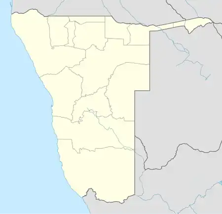  Katima Mulilo Airport Location within Namibia | |||||||||||
| Runways | |||||||||||
| |||||||||||
| Source: WAD[2] GCM[3] Google Maps[4] | |||||||||||
Katima Mulilo Airport (IATA: MPA, ICAO: FYKM, formerly FYMP), also known as Mpacha Airport, serves Katima Mulilo, the capital of the Zambezi Region in Namibia. The airport is on the B8 road, about 18 km (11 mi) southwest of the centre of Katima Mulilo.[5] The Katima Mulilo non-directional beacon (Ident: KL) is located on the field.[6][7]
Airlines and destinations
| Airlines | Destinations |
|---|---|
| FlyNamibia | Windhoek–Hosea Kutako Seasonal: Maun[8][9] |
Statistics
Katima Mulilo Airport handled 3,342 passengers in 2025. As all other regional airports in Namibia, it operates at a loss.[10]
See also
References
- ↑ Namibia Airports Company: Airport Information Archived 2012-12-26 at the Wayback Machine
- ↑ Airport information for FYKM[link removed] from DAFIF (effective October 2006)
- ↑ "Airport information for MPA" – via Great Circle Mapper.
- ↑ Google Maps - Katima
- ↑ "Distance from Katima Mulilo to airport". WikiMapia. Retrieved 18 Feb 2010.
- ↑ "KL - KATIMA MULILO". www.pilotnav.com. Retrieved 2018-08-21.
- ↑ "Katima Mulilo NDB (KL) @ OurAirports". ourairports.com. Archived from the original on 2021-10-30. Retrieved 2018-08-21.
- ↑ "FlyNamibia Adds Windhoek – Maun in 3Q24". Aeroroutes. Retrieved 6 May 2024.
- ↑ "FlyNamibia boosts Zambezi Region tourism with flight route shift and enhanced connectivity". Namibia Economist. Retrieved 10 June 2024.
- ↑ Amutenja, Hertta Maria (10 June 2026). "Regional airports not making profit – NAC". The Namibian.
External links

Wikimedia Commons has media related to Katima Mulilo Airport.
- "Current weather for FYKM". NOAA/NWS.
- OurAirports - Katima Archived 2016-08-15 at the Wayback Machine