Ōtorehinaiti River
| Ōtorehinaiti River | |
|---|---|
Route of the Ōtorehinaiti River | |
  Mouth of the Ōtorehinaiti River 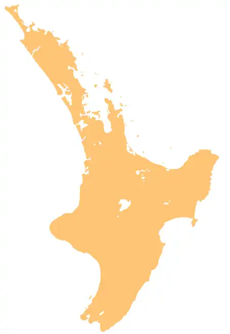 Ōtorehinaiti River (North Island) | |
| Native name | Ōtorehinaiti (Māori) |
| Location | |
| Country | New Zealand |
| Island | North Island |
| Region | Hawke's Bay |
| District | Hastings |
| Physical characteristics | |
| Source | Ōtorehinaiti Saddle |
| • coordinates | 39°08′31″S 176°12′57″E / 39.14198°S 176.21572°E |
| Mouth | Mōhaka River |
• coordinates | 39°06′31″S 176°13′41″E / 39.10865°S 176.22803°E |
| Length | 13 km (8.1 mi) |
| Basin features | |
| Progression | Ōtorehinaiti River → Mōhaka River → Hawke Bay → Pacific Ocean |
| River system | Mōhaka River |
The Ōtorehinaiti River is a river of the northwestern Hawke's Bay Region of New Zealand's North Island. It flows northwest from the Kaweka Forest Park to reach the Ōamaru River.[1]
See also
References
- ↑ "Place name detail: Ōtorehinaiti River". New Zealand Gazetteer. Land Information New Zealand. Retrieved 29 June 2026.