Zvíkovské Podhradí
Zvíkovské Podhradí | |
|---|---|
 Main street | |
 Flag  Coat of arms | |
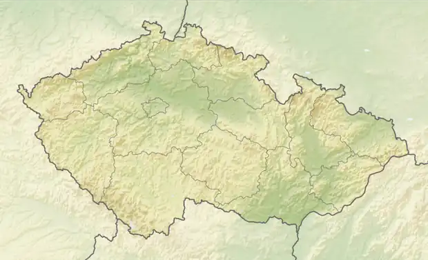  Zvíkovské Podhradí Location in the Czech Republic | |
| Coordinates: 49°25′36″N 14°12′2″E / 49.42667°N 14.20056°E | |
| Country |  Czech Republic |
| Region | South Bohemian |
| District | Písek |
| First mentioned | 1547 |
| Area | |
• Total | 4.37 km2 (1.69 sq mi) |
| Elevation | 402 m (1,319 ft) |
| Population (2026-01-01)[1] | |
• Total | 204 |
| • Density | 46.7/km2 (121/sq mi) |
| Time zone | UTC+1 (CET) |
| • Summer (DST) | UTC+2 (CEST) |
| Postal code | 398 18 |
| Website | www |
Zvíkovské Podhradí is a municipality and village in Písek District in the South Bohemian Region of the Czech Republic. It has about 200 inhabitants. The municipality is known for the Zvíkov Castle, which is protected as a national cultural monument.
Etymology
The initial name of the settlement was just Podhradí, meaning 'area below the castle' in Czech. In 1924, it was renamed Zvíkovské Podhradí ('Zvíkov's area below the castle').[2]
Geography
Zvíkovské Podhradí is located about 13 kilometres (8 mi) north of Písek and 53 km (33 mi) north of České Budějovice. It lies in the Tábor Uplands. The highest point is at 416 m (1,365 ft) above sea level. The municipality is situated at the confluence of the rivers Vltava and Otava, on the shores of the Orlík Reservoir, which is built on both of these rivers.
History
The Zvíkov Castle was probably founded by King Ottokar I in the first half of the 13th century. After the Přymslid dynasty died out, the Zvíkov Castle and the estate were owned by the noble families of Rosenberg, Švamberk and Eggenberg. From 1719 until 1948, it was owned by the Schwarzenberg family.[3]
The first written mention of the village of Podhradí, located just below the castle, is from 1547.[2] In the early 19th century, the village of Karlov was founded south of the castle and named in honour of Prince Karl Philipp of Schwarzenberg. In the second half of the 19th century, Karlov took on the name Podhradí.[4] In the 1960s, the original settlement of Podhradí was flooded during the construction of the Orlík Reservoir.[3]
Demographics
Historical population | ||||||||||||||||||||||||||||||||||||||||||||||||||||||||
|
|
| ||||||||||||||||||||||||||||||||||||||||||||||||||||||
| Source: Censuses[5][6] | ||||||||||||||||||||||||||||||||||||||||||||||||||||||||
Transport
There are no railways or major roads passing through the municipality.
Sights

Zvíkovské Podhradí is known for the Zvíkov Castle. This medieval castle was rebuilt in the 1540s and 1550s and acquired the standards of Renaissance castles. In the mid-18th century, it ceased to be maintained and in the first half of the 19th century it was already a ruin. The Schwarzenberg family, however, undertook gradual reconstructions, which were completed at the turn of the 19th and 20th centuries. The castle is protected as a national cultural monument.[3] Today the castle is owned by the state, is open to the public and offers guided tours.[7]
The main landmark of the centre of the village is a chapel from the third quarter of the 19th century.[8]
References
- ↑ "Population in municipalities as at 1. 1". DataStat. Czech Statistical Office. 2026-05-18.
- 1 2 Profous, Antonín (1951). Místní jména v Čechách III: M–Ř (in Czech). pp. 397–398.
- 1 2 3 "Hrad Zvíkov" (in Czech). National Heritage Institute. Retrieved 2026-08-24.
- ↑ "Zvíkovské Podhradí" (in Czech). CzechTourism. Retrieved 2026-08-24.
- ↑ "Historický lexikon obcí České republiky 1869–2011" (in Czech). Czech Statistical Office. 2015-12-21.
- ↑ "Population Census 2021: Population by sex". Public Database. Czech Statistical Office. 2021-03-27.
- ↑ "Tour routes". Zvíkov Castle. National Heritage Institute. Retrieved 2026-08-24.
- ↑ "Návesní kaple" (in Czech). National Heritage Institute. Retrieved 2026-08-24.
External links
