Yagotino
Yagotino
Яготино | |
|---|---|
Selo | |
  Yagotino Location within Altai Krai  Yagotino Location within Russia | |
| Coordinates: 52°44′N 79°37′E / 52.733°N 79.617°E[1] | |
| Country | Russia |
| Region | Altai Krai |
| District | Blagoveshchensky District |
| Time zone | UTC+7:00 |
Yagotino (Russian: Яготино) is a rural locality (a selo) and the administrative center of Yagotinsky Selsoviet, Blagoveshchensky District, Altai Krai, Russia. The population was 600 as of 2013.[2] It was founded in 1909. There are 8 streets.
Geography
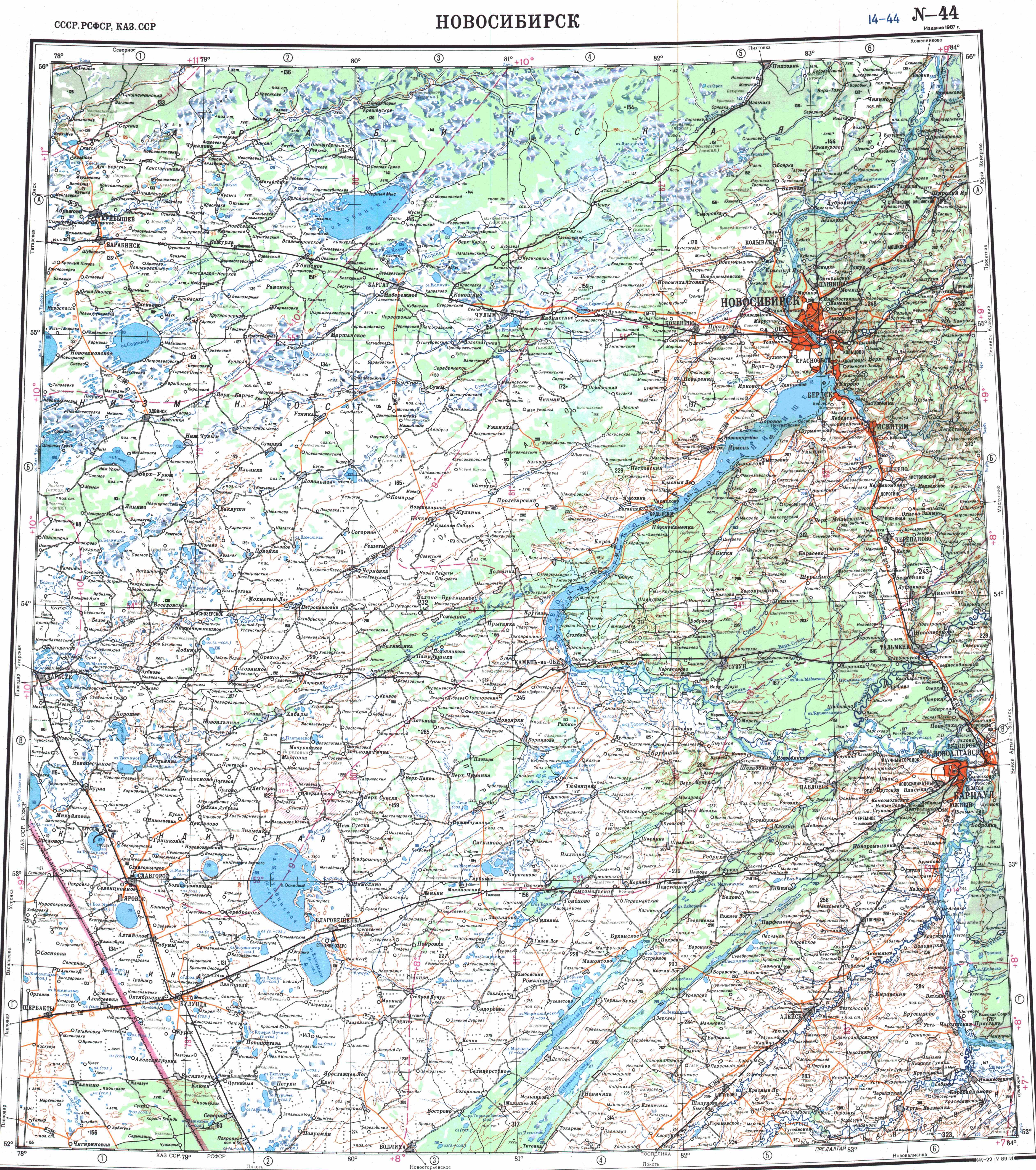
Yagotino lies in the Kulunda Steppe, 3 kilometers (1.9 mi) to the west of lake Kuchuk and 8 kilometers (5.0 mi) to the east of lake Bauzhansor.[3][4] It is located 23 km southwest of Blagoveshchenka (the district's administrative centre) by road. Orlean is the nearest rural locality.[5]
References
- ↑ Карта Благовещенского района Алтайского края
- ↑ Численность населения по муниципальным образованиям на 1 января 2011, 2012, 2013 гг. (в том числе по населённым пунктам) по данным текущего учёта
- ↑ "N-44 Topographic Chart (in Russian)". Retrieved 31 May 2024.
- ↑ Google Earth
- ↑ Расстояние от Яготина до Благовещенки