Woolford, Alberta
Woolford | |
|---|---|
Hamlet | |
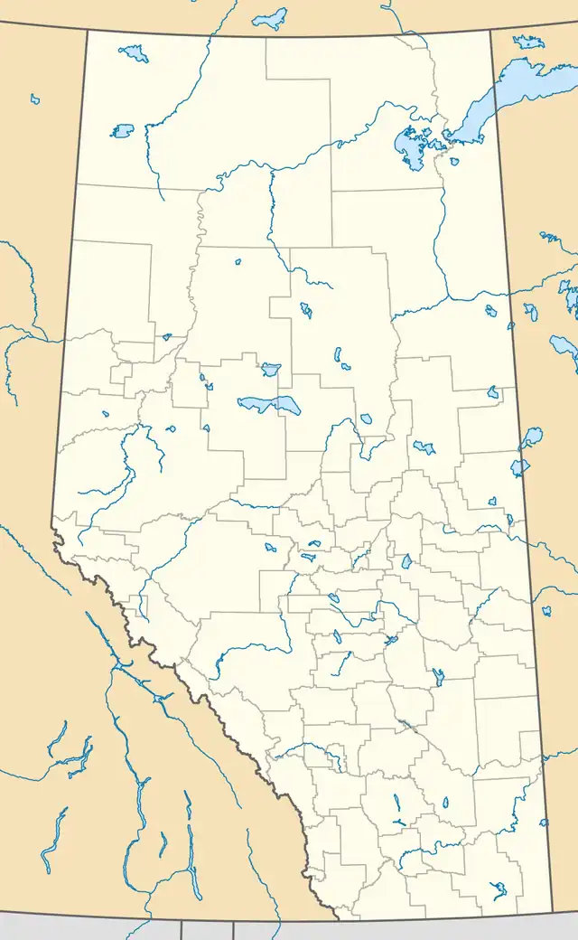  Location of Woolford in Alberta | |
| Coordinates: 49°11′06″N 113°09′55″W / 49.18500°N 113.16528°W | |
| Country | Canada |
| Province | Alberta |
| Region | Southern Alberta |
| Census division | 3 |
| Municipal district | Cardston County |
| Founded | 1900 |
| Government | |
| • Governing body | Cardston County Council |
| • MP | Jim Hillyer |
| • MLA | Gary Bikman |
| Population (1986)[1] | |
• Total | 13 |
| Time zone | UTC−06:00 (Alberta Time) |
| Postal code span | |
| Area code | +1-403 |
| Highways | Highway 503 |
Woolford is a hamlet in southern Alberta, Canada, within Cardston County.[2] It is located on Highway 503, approximately 16 kilometres (9.9 mi) southeast of Cardston between the St. Mary River and the Milk River Ridge.
Toponymy
Woolford is named for Thomas Woolford (1856–1944), a successful farmer and community leader who lived in the area between 1899 and 1911.[3][4]
History
Pre-Woolford
The first known resident to settle permanently in the area was Bill Aldridge, who built a cabin near the site in 1890.[5] Aldridge vacated the area after losing his property in a prairie fire.[5]
Founding and development: 1900–1929
In 1899, American farmer and Church of Jesus Christ of Latter-day Saints (LDS) practitioner Thomas Henry Woolford moved to the area.[3][6] He became the founder of the village that today bears his name.[3][5][7] A community of LDS parishioners soon assembled in the area, and Woolford became a branch of the church (Woolford Ward) in 1906.[8] A schoolhouse opened that year, which doubled as a community hall.[5][7]
In 1910, the Canadian Pacific Railway (CPR) built a subdivision connecting Raley to Whiskey Gap, and established a station named Woolford one mile northeast of the existing community.[5][6] For the next two decades, Woolford would benefit from being the southernmost point on the railway; it developed as a trading hub as a result.[3] The original Woolford location became known colloquially as Woolford Flat, consisting of the schoolhouse, several houses, and the LDS church.[5][7]
The Woolford CPR station was soon surrounded by three grain elevators, several stores, and a Chinese restaurant.[5] A Woolford post office (known as Woolford Station for its first seven years of operations[9]) opened in 1912,[10] and Woolford Cemetery was established two years later.[11] A Hutterite colony, Big Bend Hutterite Colony, was founded near Woolford in 1920,[12] and a Presbyterian congregation opened Woolford United Church in 1926.[5]
The railway line through Woolford was extended to the border with Montana in 1929.[6] This diluted Woolford's necessity as a commercial hub, and ended the hamlet's rapid early growth.[6]
Rest of the 20th century: 1930–2000
One of Woolford's grain elevators burned down in 1930.[5] In the following years, Woolford also lost at least four businesses to fires, and a second grain elevator.[5] Woolford School closed in 1947, and students were transferred to schools in Cardston.[13]
Woolford's name was accepted for federal mapping purposes in July 1954.[3] Its post office closed permanently in May 1958,[10] and its United Church closed in 1967.[5] According to analysis of the Cardston region by Agriculture and Agri-Food Canada, the number of active farms in Woolford depleted from 44 in 1963 to 27 in 1970.[14] The LDS' Woolford Ward folded in 1971.[8]
A 1977 report issued by a federal Grain Handling and Transportation Commission, chaired by Emmett Matthew Hall, recommended that the CPR's Woolford Subdivision line should be abandoned by the end of the year.[15][16] At this time, the Alberta Wheat Pool owned the two active grain elevators remaining in Woolford; the company indicated that it had no plans to upgrade them.[15]
21st century: 2001–present
Raimount Energy discovered oil near Woolford in 2010,[17] and sold 50% of its interest in the site to Shell plc the following year.[18]
As of 2025, the original Woolford site contains some properties and farmland.[3] Woolford Cemetery has continued to receive interments into the 21st century.[11]
Demographics
Woolford recorded a population of 13 in the 1986 Census of Population conducted by Statistics Canada.[1]
Attractions
The Woolford Provincial Park is a provincial park west of Highway 503, approximately 18 km (11 mi) east of Cardston.[19]
Notable residents
- John Horne Blackmore – teacher and later politician who taught in Woolford in the 1910s.[20]
See also
References
- 1 2 "Census Canada 1986: Population — Unincorporated Places (Population and Dwelling Counts – Canada)" (PDF). Statistics Canada. July 1988. Retrieved September 25, 2021.
- ↑ "Specialized and Rural Municipalities and Their Communities" (PDF). Alberta Municipal Affairs. June 3, 2024. Retrieved June 14, 2024.
- 1 2 3 4 5 6 Alberta Culture (January 2025). "Woolford". Alberta Geographical Names Web Map. Text visible upon selecting the yellow circle or searching 'Woolford'.
- ↑ Brassard, Brooke Kathleen (2018). "The Last Best West | Religious Studies Center". rsc.byu.edu. Retrieved July 4, 2026.
- 1 2 3 4 5 6 7 8 9 10 11 Cardston and District Historical Society. Chief Mountain Country: A History of Cardston and District. Vol. 1. 1978. pp. 80–82, 185.
- 1 2 3 4 Speirs, Dale (July 1, 2017). "Woolford" (PDF). Journal of Alberta Postal History. 1 (14): 59–60 – via Postal History Society of Canada (PHSC).
- 1 2 3 Lesson Committee (2006). Pioneer Pathways. Salt Lake City: Daughters of Utah Pioneers. pp. 102–103.
- 1 2 Cardston and District Historical Society (1987). Bectell, Beryl (ed.). Chief mountain country: a history of Cardston and district. Vol. 2. pp. 143, 204.
- ↑ Canada, Library and Archives (November 25, 2016). "Woolford Station Archives / Post Offices and Postmasters". recherche-collection-search.bac-lac.gc.ca. Retrieved July 3, 2026.
- 1 2 Canada, Library and Archives (November 25, 2016). "Woolford Archives / Post Offices and Postmasters". recherche-collection-search.bac-lac.gc.ca. Retrieved July 3, 2026.
- 1 2 Alberta Family Histories Society. "Woolford Cemetery (Cardston County)". Discover Alberta Ancestors. Retrieved July 4, 2026.
- ↑ Decker, David (February 9, 2024). "Big Bend Hutterite Colony (Cardston, Alberta, Canada)". Global Anabaptist Mennonite Encyclopedia Online.
- ↑ Rasporich, Anthony W., ed. (1984). The Making of the modern West: western Canada since 1945. Calgary, Alta., Canada: University of Calgary Press. p. 153. ISBN 978-0-919813-04-5.
- ↑ Agriculture Canada (1972). The Cardston Region of Alberta. Prairie Regional Studies in Economic Geography. Government of Canada. p. 41.
- 1 2 Grain Handling and Transportation Commission (1977). Hall, Emmett M. (ed.). Grain and Rail in Western Canada: Report of the Grain Handling and Transportation Commission (PDF). Privy Council Office. pp. 477–478.
- ↑ Office, Privy Council. "Grain Handling and Transportation Commission". epe.lac-bac.gc.ca. Retrieved July 4, 2026.
- ↑ Raimount Energy Inc (November 5, 2010). "RAIMOUNT ANNOUNCES WOOLFORD OIL FIND". www.newswire.ca. Retrieved July 4, 2026.
- ↑ "Raimount Energy sells some of its oil and gas rights for $10.1 million". Global News. September 16, 2011. Retrieved July 4, 2026.
- ↑ "Woolford | Campground | Woolford Provincial Park | Alberta Parks". www.albertaparks.ca. Retrieved July 4, 2026.
- ↑ Stingel, Janine (2000). Social Discredit: Anti-Semitism, Social Credit, and the Jewish Response. McGill-Queen's Press - MQUP. pp. 194–195. ISBN 978-0-7735-2010-3.
Places adjacent to Woolford, Alberta | ||||||||||||||||
|---|---|---|---|---|---|---|---|---|---|---|---|---|---|---|---|---|
| ||||||||||||||||


