Waingaromia River
| Waingaromia River | |
|---|---|
Route of the Waingaromia River | |
  Mouth of the Waingaromia River 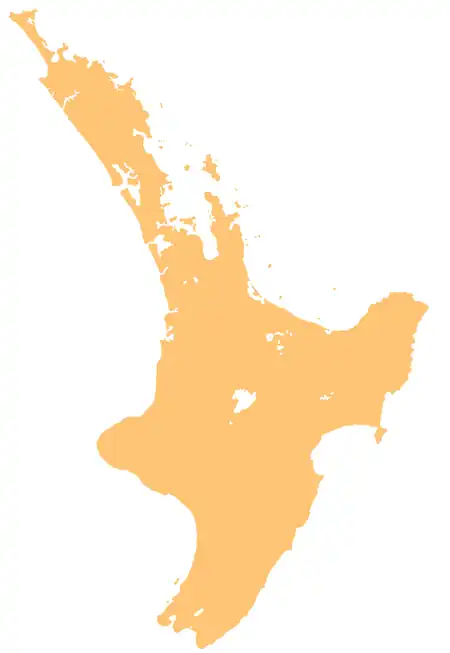 Waingaromia River (North Island) | |
| Native name | Waingaromia (Māori) |
| Location | |
| Country | New Zealand |
| Island | North Island |
| Region | Gisborne |
| Physical characteristics | |
| Source | |
| • coordinates | 38°14′40″S 178°02′01″E / 38.24435°S 178.03373°E |
| Mouth | Waipaoa River |
• location | Whatatutu |
• coordinates | 38°23′33″S 177°51′32″E / 38.39259°S 177.85897°E |
| Length | 25 km (16 mi) |
| Basin features | |
| Progression | Waingaromia River → Waipaoa River → Poverty Bay → Pacific Ocean |
| Tributaries | |
| • left | Parariki Stream, Mākahakaha Ngārara Stream, Kawakawa Stream |
| • right | Mangatuamaru Stream, Waitangi Stream |
The Waingaromia River is a river of the Gisborne District of New Zealand's North Island. It flows generally southwest from its origins 25 kilometres (16 mi) west of Tolaga Bay to reach the Waipaoa River close to Whatatutu.[1]
See also
References
- ↑ "Place name detail: Waingaromia River". New Zealand Gazetteer. Land Information New Zealand. Retrieved 4 April 2026.