Montes Caucasus
| Montes Caucasus | |
|---|---|
 Oblique view facing north from 106 km altitude of the southern Montes Caucasus, from Apollo 15 | |
| Highest point | |
| Listing | Lunar mountains |
| Coordinates | 38°24′N 10°00′E / 38.4°N 10.0°E[1] |
| Geography | |
| Location | the Moon |

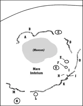
Montes Caucasus is a rugged range of mountains in the northeastern part of the Moon.[2] It begins at a gap of level surface that joins the Mare Imbrium to the west with the Mare Serenitatis to the east, and extends in an irregular band to the north-northeast to the western side of the prominent crater Eudoxus. The range forms the northwestern boundary of the Mare Serenitatis. It forms a continuation of the Montes Apenninus range to the southwest.[3]
There are several breaks in the range where nearby lunar mare has intruded into the formation, particularly near the southern tip. Embedded within the eastern flank of the range is the crater Calippus. Along the eastern flank to the south of Eudoxus is the remnants of the crater Alexander.
The range has a diameter of 445 km.[1] Its tallest peaks reach heights of 6 km.
The range was named after the Caucasus Mountains on Earth by the German selenographer Johann H. Mädler. None of the individual peaks have been assigned individual names.
See also

References
- 1 2 "Montes Caucasus". Gazetteer of Planetary Nomenclature. USGS Astrogeology. Retrieved 2010-08-26.
- ↑ "Moon Map". Observatorio ARVAL. Retrieved 2010-08-26.
- ↑ "Montes Caucasus on BBC".
External links
- Montes Caucasus (Lunar Captures)

Montes Caucasus 3d (Model created by superimposing the telescope image and DEM data processed by the Lunar Orbiter Laser Altimeter (LOLA) and SELenological and Engineering Explorer (SELENE) Kaguya Teams.