Matakawau Creek
| Matakawau Creek | |
|---|---|
 1989 aerial view | |
Route of the Matakawau Creek | |
  Mouth of the Matakawau Creek 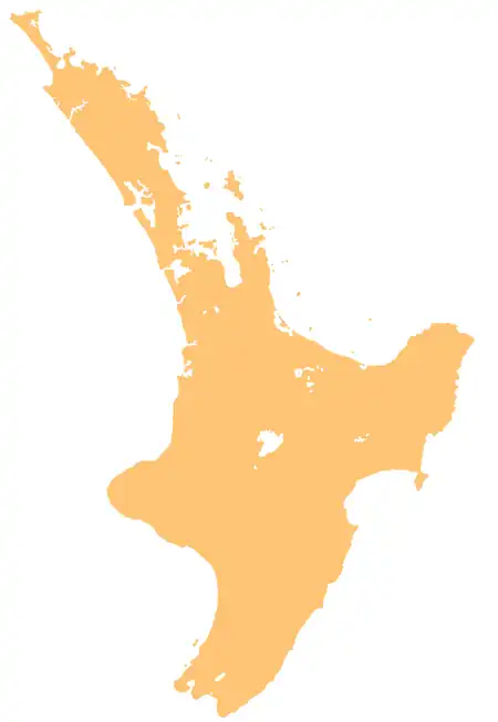 Matakawau Creek (North Island) | |
| Native name | Matakawau (Māori) |
| Location | |
| Country | New Zealand |
| Island | North Island |
| Region | Auckland |
| Local Board Area | Franklin |
| Physical characteristics | |
| Source | |
| • coordinates | 37°08′28″S 174°36′11″E / 37.1412°S 174.60305°E |
| Mouth | Manukau Harbour |
• coordinates | 37°06′57″S 174°39′31″E / 37.11577°S 174.65858°E |
| Basin features | |
| Progression | Matakawau Creek → Waiuku Channel → Manukau Harbour → Tasman Sea |
The Matakawau Creek is a stream located on the Āwhitu Peninsula of the Auckland Region of New Zealand. It flows eastwards towards the Waiuku Channel of the Manukau Harbour.[1]
Geography
The settlement of Pollok is located to the south of the upper sections of the stream, while Matakawau Point is located at the estuarine mouth of the Matakawau Creek.[1]The Matakawau Creek Esplanade Reserve is found along the left bank of the estuarine section of the creek.[2]
Areas of the upper catchment are forested with Broafleaf forest can be found in the upper catchment of the Matakawau Creek,[2] and a salt marsh environment is found at the creek mouth.[3]
See also
References
- 1 2 "Place name detail: Matakawau Creek". New Zealand Gazetteer. Land Information New Zealand. Retrieved 2 July 2026.
- 1 2 Shoreline Adaptation Plan: Āwhitu. Report Series 1 2023 (PDF) (Report). Auckland Council. May 2023. ISBN 978-1-99-106073-0. Retrieved 2 July 2026.
- ↑ Kelly, Shane (2008). Environmental condition and values of Manukau Harbour (PDF) (Report). Auckland Regional Council. ISBN 978-1-877483-72-1. Retrieved 2 July 2026.