Lac de Sauvabelin
| Lac de Sauvabelin | |
|---|---|
 The chalet | |
  Lac de Sauvabelin Location within Canton of Vaud  Lac de Sauvabelin Location within Switzerland 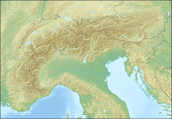 Lac de Sauvabelin Location within Alps | |
Interactive map of Lac de Sauvabelin | |
| Location | Lausanne, Vaud |
| Coordinates | 46°32′15″N 6°38′18″E / 46.53750°N 6.63833°E |
| Basin countries | Switzerland |
| Max. length | 150 m (490 ft) |
| Max. width | 100 m (330 ft) |
| Max. depth | 1.5 m (4 ft 11 in) |
Surface elevation | 640 m (2,100 ft) |
| Islands | 1 |
The Lac de Sauvabelin (French pronunciation: [lak d(ə) sovab(ə)lɛ̃]; lit. 'Lake of Sauvabelin') is an artificial lake in the Sauvabelin forest above Lausanne, Switzerland.
The City of Lausanne authorised the construction of the lake in 1888, which opened in 1889.[1] A few years later, the Funiculaire Lausanne-Signal was built.
Gallery


See also
References
- ↑ "Lac de Sauvabelin". www.lausanne-toutisme.ch (in French).
External links

Wikimedia Commons has media related to Lac de Sauvabelin.
- "Aménagement du site de Sauvabelin" (PDF). Archived from the original (PDF) on 2008-04-09. (150 KiB) (in French)
- Romandie-pêche: Lac de Sauvabelin (in French)