Khurai
Khurai | |
|---|---|
  Khurai Dohela Fort, Lake and Temple | |
  Khurai Location in Madhya Pradesh, India 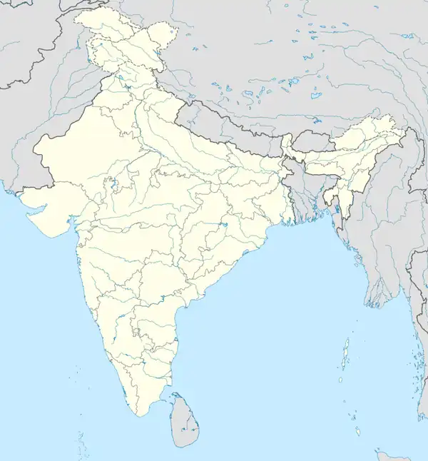 Khurai Khurai (India) | |
| Coordinates: 24°03′N 78°19′E / 24.05°N 78.32°E | |
| Country |  India |
| State | Madhya Pradesh |
| District | Sagar District |
| Founded | 1893 |
| ratan s | Khurai |
| Government | |
| • Mayor | Dr. Subrota Das |
| • Member of Legislative Assembly | Mr. Bhupendra Singh Thakur |
| • Commissioner | P.S Khan |
| Area | |
• Total | 126.77 km2 (48.95 sq mi) |
| Elevation | 421 m (1,381 ft) |
| Population (2024) | |
• Total | 200,000 approx. |
| • Rank | 900 |
| • Density | 96/km2 (250/sq mi) |
| Languages | |
| • Official | Hindi, Bundelkhandi, Urdu, English |
| Time zone | UTC+5:30 (IST) |
| PIN | 470117 |
| Telephone code | 91-7581 |
| ISO 3166 code | IN-MP |
| Vehicle registration | MP 15 |
| Coastline | 0 kilometres (0 mi) |
| Nearest city | saugor, India |
| Distance from Delhi | 949 kilometres (590 mi) S |
| Distance from Mumbai | 1,089 kilometres (677 mi) NE |
| Distance from Kolkata | 1,921 kilometres (1,194 mi) W |
| Distance from Chennai | 2,418 kilometres (1,502 mi) N |
| Climate | AW (Köppen) |
| Precipitation | 231 millimetres (9.1 in) |
| Avg. annual temperature | 24.03 °C (75.25 °F) |
| Avg. summer temperature | 42.33 °C (108.19 °F) |
| Avg. winter temperature | 01.77 °C (35.19 °F) |
Khurai is a major city in Sagar District and a municipality in the Indian state of Madhya Pradesh. It's a tehsil headquarter and a assembly constituency in Madhya Pradesh.
Geography
Khurai is located on 24°03′N 78°19′E / 24.05°N 78.32°E. It has an average elevation of 508 metres (1669 feet).[1] It is located in the northeastern region of Madhya Pradesh.
Climate
Khurai has a mainly moderate climate. From October to February the temperature is between 12 °C (54 °F) to 27 °C (81 °F); from March to June temperatures range from 35 °C (95 °F) to 48 °C (118 °F). The average rainfall is about 200 cm (79 in). Winters are moderately cool and summers are hot. Monsoon season lasts from June through August.
| Khurai | ||||||||||||||||||||||||||||||||||||||||||||||||||||||||||||
|---|---|---|---|---|---|---|---|---|---|---|---|---|---|---|---|---|---|---|---|---|---|---|---|---|---|---|---|---|---|---|---|---|---|---|---|---|---|---|---|---|---|---|---|---|---|---|---|---|---|---|---|---|---|---|---|---|---|---|---|---|
| Climate chart (explanation) | ||||||||||||||||||||||||||||||||||||||||||||||||||||||||||||
| ||||||||||||||||||||||||||||||||||||||||||||||||||||||||||||
| ||||||||||||||||||||||||||||||||||||||||||||||||||||||||||||
Demographics
As of the 2024 census of India,[2] Khurai has a population of 2,00,000 approx. Males constitute 53% of the population and females 47%. Khurai has an average literacy rate of 85.8%, higher than the national average of 80.1%.
Economy
The main business in the Khurai region is agriculture. The main crops grown there are wheat (sharbati), soybean and gram. The city is a hub for the manufacturing of agricultural equipment such as threshers, cultivators, ploughs, seed drills and trollies.
A hospital, round-the-clock mobile medical vehicle, a national level auditorium, badminton court and gym have been set up in the area by the state government.[3]
Places to Interest
- Dohela Fort: Dohela fort is main attraction of Khurai town, it's a historical and beautiful fort, every year here celebrating a Dohela fair.[4]
- Radha Kund and Temple: This temple and lake is other major interesting place in khurai, that's temple is very old and divine. Many people are visiting them every day. [5][6]
- Laal Jain Mandir: Laal Jain Mandir is an important religious and philosophical place of Khurai, here Jain Temple and Maansthambh fascinating place, along with this Dharamshala is also available here.[7][8]
Education and Institution
There are many colleges and institutes available in the field of education in Khurai, the major ones are
Localities and suburbs
Transportation
Khurai is well connected with roads and railways,
- Road: Sagar is 40 km away from Khurai.National Highway 934 and State Highway 14 passing through khurai, khurai is connected nearby towns with daily bus services. [9]
- Rail way: Khurai railway station located on Bina Katni Line. Its code is KYE. It serves Khurai city. The station consists of three platforms. Passenger, Express and Superfast trains halt here.[10]
See also
References
- ↑ "Maps, Weather, and Airports for Khurai, India". www.fallingrain.com. Retrieved 10 April 2025.
- ↑ "Census of India 2001: Data from the 2001 Census, including cities, villages and towns (Provisional)". Census Commission of India. Archived from the original on 16 June 2004. Retrieved 1 November 2008.
- ↑ "Model of development in backward MP area". thestatesman.com. Retrieved 17 October 2018.
- ↑ "शिवार्चन के साथ डोहेला महोत्सव का आगाज, संगीतकार जावेद अली की प्रस्तुति ने बांधा समां". Nai Dunia (in Hindi). 14 January 2021. Retrieved 10 April 2025.
- ↑ "गढ़ाकोटा में रहस मेला और खुरई में डोहेला महोत्सव आज से". Nai Dunia (in Hindi). 9 March 2022. Retrieved 10 April 2025.
- ↑ "Khurai Fort, Lake, and Radhakund, Khurai, Madhya Pradesh". Pinterest. Retrieved 10 April 2025.
- ↑ "Khurai Digamber Jain Lal Mandir @ HereNow4U". HereNow4U: Portal on Jainism and next level consciousness. Retrieved 10 April 2025.
- ↑ "Jain Temple Details". www.jainmandir.org. Retrieved 10 April 2025.
- ↑ "Relation: SH62 (9137249)". OpenStreetMap. 31 January 2025. Retrieved 10 April 2025.
- ↑ Chourasiya, Ajay. "31 Departures from Khurai WCR/West Central Zone - Railway Enquiry". indiarailinfo.com. Retrieved 10 April 2025.