Hnyihnu
Hnyee Hnyu | |
|---|---|
  Hnyee Hnyu Location in Burma | |
| Coordinates: 15°19′N 97°47′E / 15.317°N 97.783°E | |
| Country |  Burma |
| State | Mon State |
| Township | Ye Township |
| Elevation | 20 ft (6 m) |
| Population (2005) | |
| • Religions | Buddhism |
| Time zone | UTC+6.30 (UTC + 6!30) |
Hnyihnu (Burmese: သၞေဟ်ဇၞူ) also spelled Hnyee Hnyu, is a village in Ye Township in the Mon State of south-east Burma.[1] It is located approximately 12 kilometres north-west of Ye city.[2]
Nearby towns and villages include Andin (2.2 nm), Saiye (2.2 nm), Zuntalin (4.2 nm), Kyonpaw (4:0 nm) and Zayat (1.0 nm).[2]
References
- ↑ "Mon State Place Codes". Myanmar Information Management Unit. September 2017. Archived from the original on 28 February 2018. Retrieved 27 February 2018.
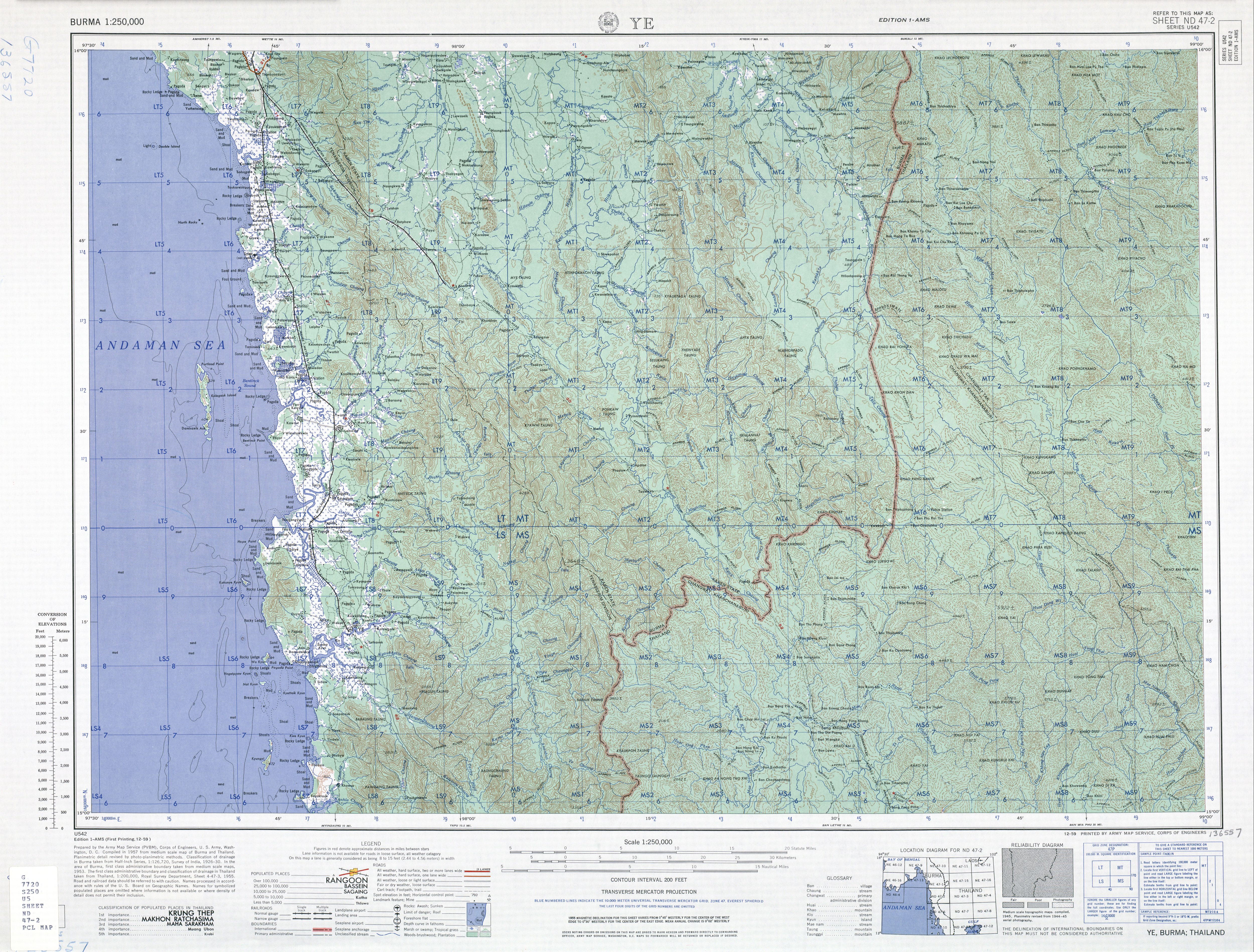
- 1 2 Square LS7 - Burma 1:250,000 topographic map, Series U542, ND 47-02 Ye U.S. Army Map Service, December 1959
Capital: Mawlamyine | ||
| Mawlamyine District |   | |
| Thaton District | ||
| Kyaikto District | ||
| Ye District |
| |
| Cities, towns, and villages |
| |