Andin
Andin | |
|---|---|
  Andin Location in Burma | |
| Coordinates: 15°21′N 97°46′E / 15.350°N 97.767°E | |
| Country |  Burma |
| State | Mon State |
| Township | Ye Township |
| Elevation | 16 ft (5 m) |
| Population (2005) | |
| • Religions | Buddhism |
| Time zone | UTC+6.30 (UTC + 6:30) |
Andin (Mon: အၚ်ဒၚ်) also spelled An Din, is a village in Ye Township in the Mon State of south-east Burma.[1] It is located approximately 16 kilometres north-west of Ye city.[2]
Nearby towns and villages include Daminzeik Auk (12.1 km), Hnyigarok (1.0 km), Thingangyun (2.2 km), Awainggale (3.5 km), Zuntalin (4.0 km), Daminzeikkyi(8.0 km), Duya(5.1 km), Zayat (3.2 km) and Hnyihnu (2.2 km).[2]
References
- ↑ "Mon State Place Codes". Myanmar Information Management Unit. September 2017. Archived from the original on 28 February 2018. Retrieved 27 February 2018.
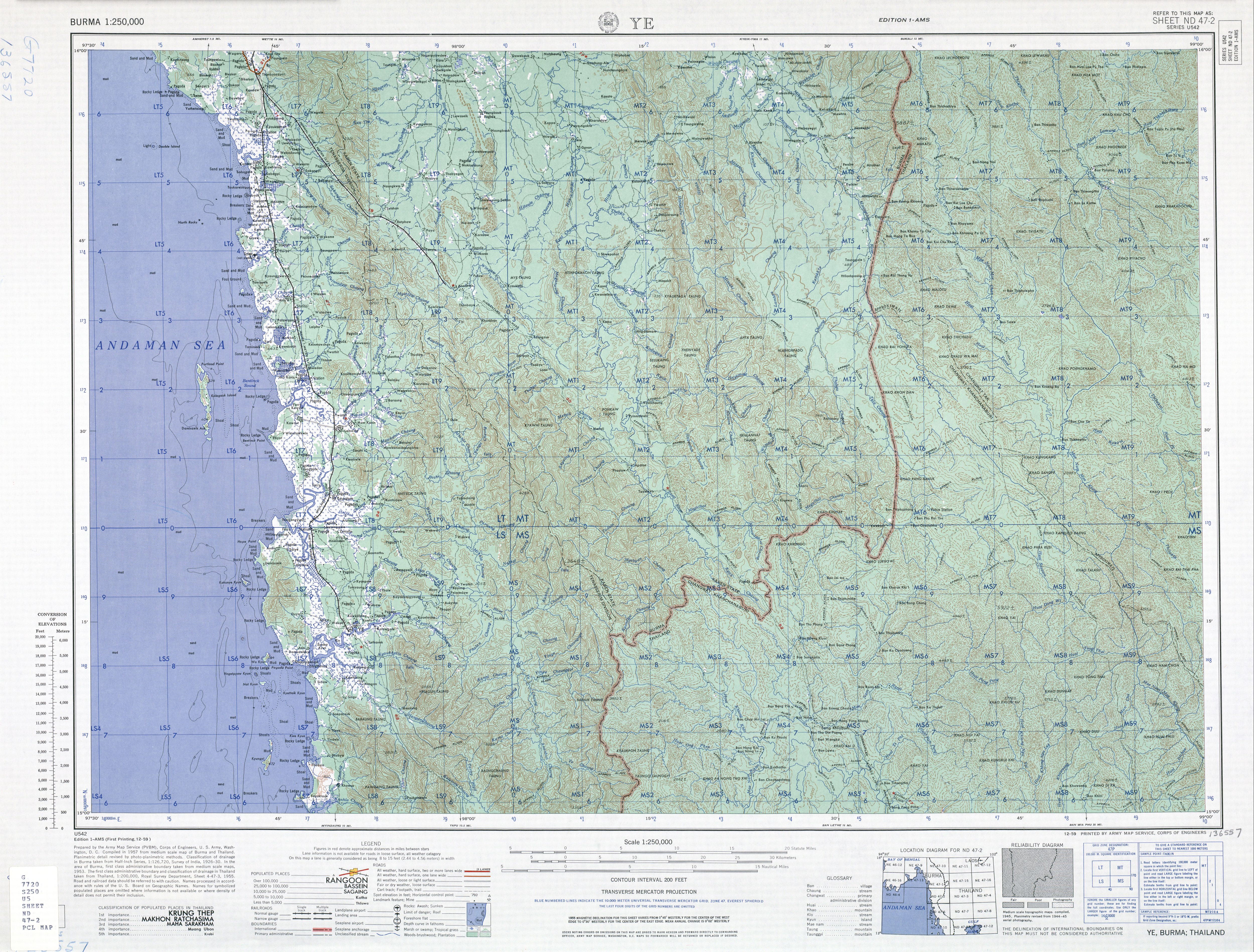
- 1 2 Square LS7 - Burma 1:250,000 topographic map, Series U542, ND 47-02 Ye U.S. Army Map Service, December 1959
Capital: Mawlamyine | ||
| Mawlamyine District |   | |
| Thaton District | ||
| Kyaikto District | ||
| Ye District |
| |
| Cities, towns, and villages |
| |