Eilean Leathann
| |
|---|---|
 The causeway to Eilean Leathann from Garbh-eilean | |
| Location | |
  Eilean Leathann Location within North Uist  Eilean Leathann Location within Outer Hebrides | |
| OS grid reference | NF841587 |
| Coordinates | 57°30′29″N 7°16′30″W / 57.508°N 7.275°W |
| Name | |
| Name meaning | Broad island |
| Physical geography | |
| Island group | Uists and Barra |
| Area | 6.5 ha (0 sq mi)[1] |
Highest elevation | 10 m (33 ft) |
| Administration | |
| Council area | Na h-Eileanan Siar |
| Country | Scotland |
| Sovereign state | United Kingdom |
| Demographics | |
| Population | 1[2] |
| Population rank | 95= [3] |
| Population density | 15.4/km2 (40/sq mi) |
| References | [4] |
Eilean Leathann is an island that is connected to the nearby Garbh-eilean by a narrow road running over a short causeway that then joins the main North Ford Causeway or Oitir Mór between North Uist and Benbecula in the Outer Hebrides of Scotland.[1][5][6] In 2022 the census recorded a permanent population on the island of a single individual.[2]
References
- 1 2 "Eilean Leathann". Gazetteer for Scotland. Retrieved 2 July 2025.
- 1 2 "Scottish Islands Data Dashboard". RESAS/Scottish Government. 2025. p. 6. Retrieved 1 June 2025.
- ↑ Area and population ranks: there are c. 300 islands over 20 ha in extent. 93 permanently inhabited islands were listed in the 2011 census and 101 such islands in 2022.
- ↑ Ordnance Survey. OS Maps Online (Map). 1:25,000. Leisure.
- ↑ "Eilean a' Ghiorr". Gazetteer for Scotland. Retrieved 1 July 2025.
- ↑ Haswell-Smith, Hamish (2004). The Scottish Islands. Edinburgh: Canongate. p. 244. ISBN 978-1-84195-454-7.
Inhabited islands of the Hebrides | ||
|---|---|---|
| Inner Hebrides | 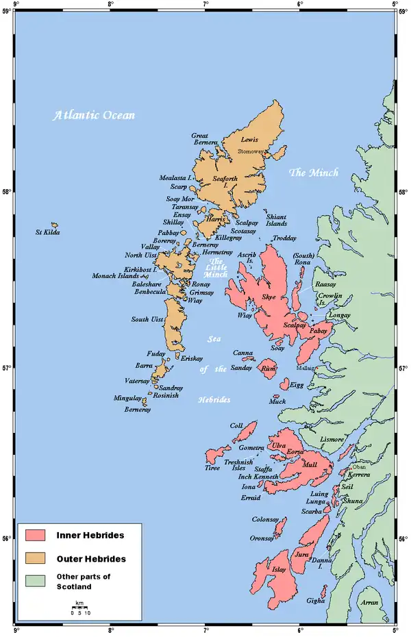 | |
| Outer Hebrides | ||
|  | ||||||||||||||||
|
| |||||||||||||||||
| |||||||||||||||||
| |||||||||||||||||
| |||||||||||||||||
| |||||||||||||||||
| |||||||||||||||||
| |||||||||||||||||
Category: