Dolní Město
Dolní Město | |
|---|---|
 Centre of Dolní Město | |
 Flag  Coat of arms | |
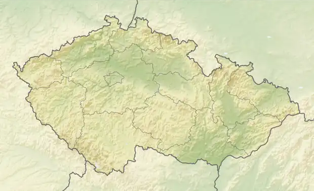  Dolní Město Location in the Czech Republic | |
| Coordinates: 49°37′40″N 15°22′56″E / 49.62778°N 15.38222°E | |
| Country |  Czech Republic |
| Region | Vysočina |
| District | Havlíčkův Brod |
| First mentioned | 1226 |
| Area | |
• Total | 18.81 km2 (7.26 sq mi) |
| Elevation | 440 m (1,440 ft) |
| Population (2025-01-01)[1] | |
• Total | 956 |
| • Density | 50.8/km2 (132/sq mi) |
| Time zone | UTC+1 (CET) |
| • Summer (DST) | UTC+2 (CEST) |
| Postal codes | 582 33, 582 91, 584 01 |
| Website | www |
Dolní Město (Czech pronunciation: [ˈdolɲiː ˈmɲɛsto]) is a municipality and village in Havlíčkův Brod District in the Vysočina Region of the Czech Republic. It has about 1,000 inhabitants.
Administrative division
Dolní Město consists of six municipal parts (in brackets population according to the 2021 census):[2]
- Dolní Město (747)
- Dobrá Voda Lipnická (32)
- Loukov (6)
- Meziklasí (50)
- Rejčkov (63)
- Smrčensko (7)
Etymology
Initially, the settlement was called Lipnice. After the Lipnice Castle was founded nearby, the settlement next to the castle became known as Horní Lipnice ('upper Lipnice'; today Lipnice nad Sázavou), and the original Lipnice was called Dolní Lipnice ('lower Lipnice'). In the late 16th century, Dolní Lipnice became known as Dolní Město (lit. 'lower town').[3][4]
Geography
Dolní Město is located about 14 kilometres (9 mi) west of Havlíčkův Brod and 29 km (18 mi) northwest of Jihlava. It lies mostly in the Křemešník Highlands, but the northern part of the municipality extends into the Upper Sázava Hills. The highest point is the hill Melechov at 715 m (2,346 ft) above sea level. The village is situated in the valley of the stream Pstružný potok, and several other smaller streams also flow through the municipal territory.
History
The first written mention of Dolní Město (that time known as Lipnice) is from 1226. It was a market town, but due to the settlement's poor defensive position, a new castle and settlement were founded nearby in 1310, and they took the name Lipnice. The importance of Dolní Město declined, and during the Hussite Wars (1419–1434) it lost its market town status. In the following centuries, it was a village with a stagnant population.[3]
Demographics
Historical population | ||||||||||||||||||||||||||||||||||||||||||||||||||||||||
|
|
| ||||||||||||||||||||||||||||||||||||||||||||||||||||||
| Source: Censuses[5][6] | ||||||||||||||||||||||||||||||||||||||||||||||||||||||||
Transport
There are no railways or major roads passing through the municipality.
Sights

The main landmark of Dolní Město is the Church of Saint Martin. It was originally a Gothic church from the 13th century, rebuilt in the Renaissance and Baroque styles. Next to the church is a separate wooden bell tower.[7]
The Church of Saint Margaret is located in Loukov. It is a Gothic church and its interior is decorated with rare wall paintings from the 14th century. The tower was added to the church in the 17th century.[8]
References
- ↑ "Population of Municipalities – 1 January 2025". Czech Statistical Office. 2025-05-16.
- ↑ "Public Census 2021 – basic data". Public Database (in Czech). Czech Statistical Office. 2022.
- 1 2 "Historie obce" (in Czech). Obec Dolní Město. Retrieved 2026-04-24.
- ↑ Profous, Antonín (1951). Místní jména v Čechách III: M–Ř (in Czech). p. 56.
- ↑ "Historický lexikon obcí České republiky 1869–2011" (in Czech). Czech Statistical Office. 2015-12-21.
- ↑ "Population Census 2021: Population by sex". Public Database. Czech Statistical Office. 2021-03-27.
- ↑ "Kostel sv. Martina se zvonicí" (in Czech). National Heritage Institute. Retrieved 2026-04-24.
- ↑ "Kostel sv. Markéty" (in Czech). National Heritage Institute. Retrieved 2026-04-24.
External links
