Dolní Hbity
Dolní Hbity | |
|---|---|
 View from the south | |
 Flag  Coat of arms | |
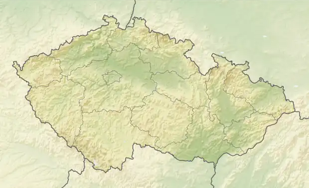  Dolní Hbity Location in the Czech Republic | |
| Coordinates: 49°39′27″N 14°10′12″E / 49.65750°N 14.17000°E | |
| Country |  Czech Republic |
| Region | Central Bohemian |
| District | Příbram |
| First mentioned | 1325 |
| Area | |
• Total | 25.69 km2 (9.92 sq mi) |
| Elevation | 399 m (1,309 ft) |
| Population (2026-01-01)[1] | |
• Total | 912 |
| • Density | 35.5/km2 (91.9/sq mi) |
| Time zone | UTC+1 (CET) |
| • Summer (DST) | UTC+2 (CEST) |
| Postal codes | 262 62, 262 63 |
| Website | www |
Dolní Hbity is a municipality and village in Příbram District in the Central Bohemian Region of the Czech Republic. It has about 900 inhabitants.
Administrative division
Dolní Hbity consists of eight municipal parts (in brackets population according to the 2021 census):[2]
- Dolní Hbity (301)
- Horní Líšnice (30)
- Jelence (215)
- Káciň (119)
- Kaliště (15)
- Luhy (138)
- Nepřejov (45)
- Třtí (42)
Etymology
The initial name of Dolní Hbity was Tbity. This name was derived from the old Czech adjective tbitý, meaning 'attentive', 'conscientious'. The inhabitants of the village were designated that way, but it could have been an ironic designation. From the second half of the 15th century, two villages were distinguished: Dolní ('lower') Hbity and Horní ('upper') Hbity (today a part of Jablonná).[3]
Geography
Dolní Hbity is located about 12 kilometres (7 mi) east of Příbram and 43 km (27 mi) southwest of Prague. It lies in the Benešov Uplands. The highest point is the hill Bukovec at 562 m (1,844 ft) above sea level. The stream Vápenický potok flows through the municipality.
History
The first written mention of Dolní Hbity is from 1325, when King John of Bohemia sold the area to Lord Heřman of Miličín.[4]
Demographics
Historical population | ||||||||||||||||||||||||||||||||||||||||||||||||||||||||
|
|
| ||||||||||||||||||||||||||||||||||||||||||||||||||||||
| Source: Censuses[5][6] | ||||||||||||||||||||||||||||||||||||||||||||||||||||||||
Transport
There are no railways or major roads passing through the municipality.
Sights

The most important monument of Dolní Hbity is the Church of Saint John the Baptist. It was built in the Neo-Romanesque style in 1868–1872 on the site of an older church from the second half of the 13th century.[7]
Notable people
- Charles J. Vopicka (1857–1935), Czech-American businessman and diplomat
References
- ↑ "Population in municipalities as at 1. 1". DataStat. Czech Statistical Office. 2026-05-18.
- ↑ "Public Census 2021 – basic data". Public Database (in Czech). Czech Statistical Office. 2022.
- ↑ Profous, Antonín (1947). Místní jména v Čechách I: A–H (in Czech). pp. 384–385.
- ↑ "Historie obce" (in Czech). Obec Dolní Hbity. Retrieved 2023-04-20.
- ↑ "Historický lexikon obcí České republiky 1869–2011" (in Czech). Czech Statistical Office. 2015-12-21.
- ↑ "Population Census 2021: Population by sex". Public Database. Czech Statistical Office. 2021-03-27.
- ↑ "Kostel sv. Jana Křtitele" (in Czech). National Heritage Institute. Retrieved 2023-04-20.
External links
