Dolany (Kladno District)
Dolany | |
|---|---|
 Main street | |
 Flag  Coat of arms | |
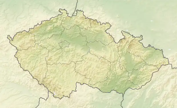  Dolany Location in the Czech Republic | |
| Coordinates: 50°6′56″N 14°8′59″E / 50.11556°N 14.14972°E | |
| Country |  Czech Republic |
| Region | Central Bohemian |
| District | Kladno |
| First mentioned | 1384 |
| Area | |
• Total | 3.00 km2 (1.16 sq mi) |
| Elevation | 365 m (1,198 ft) |
| Population (2026-01-01)[1] | |
• Total | 328 |
| • Density | 109/km2 (283/sq mi) |
| Time zone | UTC+1 (CET) |
| • Summer (DST) | UTC+2 (CEST) |
| Postal code | 273 51 |
| Website | www |
Dolany is a municipality and village in Kladno District in the Central Bohemian Region of the Czech Republic. It has about 300 inhabitants.
Etymology
The name is derived from the Czech word důl (in Old Czech written as dól), i.e. 'valley'. The initial name of the village was Dolánky (a diminutive of Dolany), but after the village grew, the name was changed to Dolany.[2]
Demographics
| Year | Pop. | ±% |
|---|---|---|
| 1869 | 263 | — |
| 1880 | 252 | −4.2% |
| 1890 | 280 | +11.1% |
| 1900 | 302 | +7.9% |
| 1910 | 315 | +4.3% |
| 1921 | 282 | −10.5% |
| 1930 | 315 | +11.7% |
| 1950 | 255 | −19.0% |
| 1961 | 229 | −10.2% |
| 1970 | 195 | −14.8% |
| 1980 | 187 | −4.1% |
| 1991 | 156 | −16.6% |
| 2001 | 184 | +17.9% |
| 2011 | 269 | +46.2% |
| 2021 | 285 | +5.9% |
| Source: Censuses[3][4] | ||
References
- ↑ "Population in municipalities as at 1. 1". DataStat. Czech Statistical Office. 2026-05-18.
- ↑ Profous, Antonín (1947). Místní jména v Čechách I: A–H (in Czech). p. 421.
- ↑ "Historický lexikon obcí České republiky 1869–2011" (in Czech). Czech Statistical Office. 2015-12-21.
- ↑ "Population Census 2021: Population by sex". Public Database. Czech Statistical Office. 2021-03-27.
External links

Wikimedia Commons has media related to Dolany (Kladno District).