Conatira
| Conatira | |
|---|---|
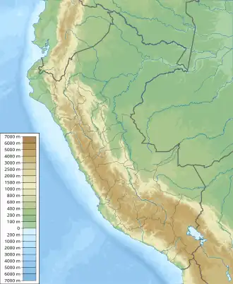  Conatira Location within Peru | |
| Highest point | |
| Elevation | 5,200 m (17,100 ft)[1] |
| Coordinates | 14°07′18″S 70°45′02″W / 14.12167°S 70.75056°W |
| Geography | |
| Location | Peru, Puno Region, Melgar Province |
| Parent range | Andes, Vilcanota |

Conatira (possibly from Aymara qhuna grind stone, tira cradle,[2] "grind stone cradle") is a mountain in the Vilcanota mountain range in the Andes of Peru, about 5,200 metres (17,060 ft) high . It is situated in the Puno Region, Melgar Province, Nuñoa District. It lies southeast of the summit of Jonorana and southwest of Sachapata and Jarupata. The rivers Llancamayo and Jatun Mayo (Quenamari) which originate north and northeast of Conatira flow along its western, southern and eastern slopes.[1]
The first reported ascent of Conatira on Aug 5 2026 (and of Sachapata on Aug 06 2026) was done by a team composed of Ulli Bayer (USA) and Jackie and Andrew Thorburn (USA), led by John Biggar (of Andes.org.uk); however, both peaks are assumed to have been previously climbed by locals, with large elaborate cairns below the summit of Conatira (and a small shrine below the summit block of Sachapata)[3][4].

References
- 1 2 escale.minedu.gob.pe - UGEL map of the Melgar Province (Puno Region)
- ↑ Radio San Gabriel, "Instituto Radiofonico de Promoción Aymara" (IRPA) 1993, Republicado por Instituto de las Lenguas y Literaturas Andinas-Amazónicas (ILLLA-A) 2011, Transcripción del Vocabulario de la Lengua Aymara, P. Ludovico Bertonio 1612 (Spanish-Aymara-Aymara-Spanish dictionary)
- ↑ description of the 1st ascent of Jonorana (2026-08-23). "14ers.com Forum". 14ers.com. Retrieved 2026-08-23.
{{cite web}}: CS1 maint: numeric names: authors list (link) - ↑ "Andes Website - News and updates about climbing and skiing conditions in the Andes". www.andes.org.uk. Retrieved 2026-08-23.