Jonorana (Carabaya-Melgar)
| Jonorana | |
|---|---|
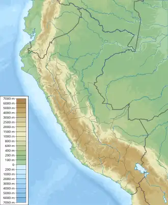  Jonorana Location within Peru | |
| Highest point | |
| Elevation | 5,553 m (18,219 ft)[1] |
| Coordinates | 14°05′01″S 70°46′11″W / 14.08361°S 70.76972°W |
| Geography | |
| Location | Peru, Puno Region, Carabaya Province, Melgar Province |
| Parent range | Andes, Vilcanota |

Jonorana (possibly from Aymara for a variety of potato of the qhini group)[2] is a 5,553-metre-high (18,219 ft) mountain in the Vilcanota mountain range in the Andes of Peru. It is situated in the Puno Region, Carabaya Province, Corani District, and in the Melgar Province, Nuñoa District. Jonorana lies east of Jatuncucho and southeast of Jampatune and Pomanota.[3] Jonorana is glaciated and is likely the highest peak in the southern Vilcanota range, i.e. the part south of the Quelccaya ice cap. The first reported ascent was done on Aug 11 2026 by a team composed of Ulli Bayer (USA) and Jackie and Andrew Thorburn (USA), led by John Biggar (of Andes.org.uk)[4][5].
References
- ↑ Peru 1:100,000, Palca 2742, Map prepared and published by the Defense Mapping Agency, Hydrographic/Topographic Center, Bethesda, MD
- ↑ "Diccionario Bilingüe, Castellano - Aymara, 2002". Félix Layme Pairumani. Archived from the original on September 23, 2015. Retrieved January 18, 2015. (see: Variedad de papa qhini)
- ↑ escale.minedu.gob.pe - UGEL map of the Melgar Province (Puno Region)
- ↑ "report of the 1st ascent of Jonorana". 14ers.com. 2026-08-23. Retrieved 2026-08-23.
- ↑ "Andes Website - News and updates about climbing and skiing conditions in the Andes". www.andes.org.uk. Retrieved 2026-08-23.