Bric Agnellino
| Bric Agnellino | |
|---|---|
 View from Bric Agnellino | |
| Highest point | |
| Elevation | 1,335 m (4,380 ft) |
| Coordinates | 44°11′58″N 8°10′35″E / 44.19944°N 8.17639°E |
| Geography | |
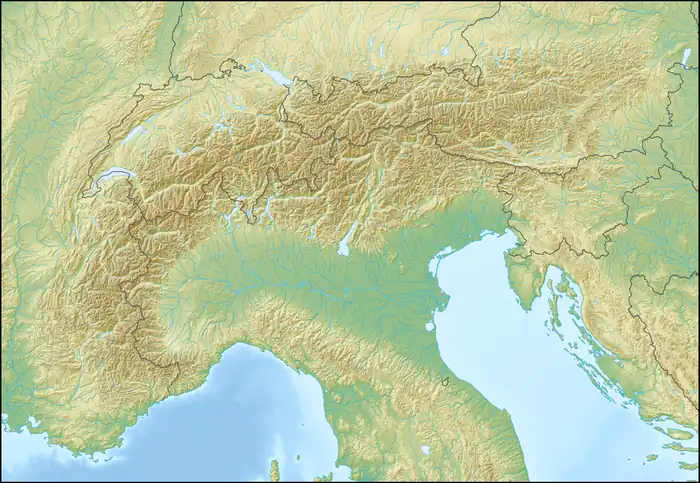  Bric Agnellino Location within Alps | |
| Location | Liguria, Italy |
| Parent range | Ligurian Alps |
Bric Agnellino is a mountain in Liguria, northern Italy, part of the Ligurian Prealps.
Geography
Bric Agnellino is located west of Colle di Cadibona in the province of Savona. It has an elevation of 1,335 metres.[1] The mountain is the tripoint where the comuni of Magliolo, Giustenice and Bardineto meet.
Hiking

The summit ca be easily reached with a diversion from the Alta Via dei Monti Liguri, starting either from the Giogo di Giustenice or from Colle del Melogno.[2]
Climbing
From some year is available a via ferrata named Ferrata degli Artisti that follows the Balzi Rossi ridge (from the reddish rocks dominating there.[3]

Wikimedia Commons has media related to Bric Agnellino.
References
- ↑ Antola National Park
- ↑ "Accordo Regione – CAI Regione Liguria" (PDF) (in Italian). Regione Liguria. Retrieved 2026-05-31.
- ↑ Bric Agnellino - Ferrata degli Artisti - 1335 m, Oliviero Bellinzani, description on www.vienormali.it