Borovnice (Benešov District)
Borovnice | |
|---|---|
 Main road | |
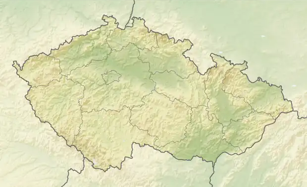  Borovnice Location in the Czech Republic | |
| Coordinates: 49°38′56″N 15°1′6″E / 49.64889°N 15.01833°E | |
| Country |  Czech Republic |
| Region | Central Bohemian |
| District | Benešov |
| First mentioned | 1352 |
| Area | |
• Total | 3.10 km2 (1.20 sq mi) |
| Elevation | 452 m (1,483 ft) |
| Population (2026-01-01)[1] | |
• Total | 95 |
| • Density | 31/km2 (79/sq mi) |
| Time zone | UTC+1 (CET) |
| • Summer (DST) | UTC+2 (CEST) |
| Postal code | 257 65 |
| Website | www |
Borovnice (Czech pronunciation: [ˈborovɲɪtsɛ]; German: Borownitz) is a municipality and village in Benešov District in the Central Bohemian Region of the Czech Republic. It has about 100 inhabitants.
Etymology
The name is derived from the Czech adjective borovná (which is derived from borovice, i.e. 'pine'). Borovnice was a common toponym for pine forests and streams flowing through pine forests, and from there it was transferred to settlements.[2]
Demographics
| Year | Pop. | ±% |
|---|---|---|
| 1869 | 219 | — |
| 1880 | 191 | −12.8% |
| 1890 | 198 | +3.7% |
| 1900 | 181 | −8.6% |
| 1910 | 183 | +1.1% |
| 1921 | 186 | +1.6% |
| 1930 | 173 | −7.0% |
| 1950 | 142 | −17.9% |
| 1961 | 155 | +9.2% |
| 1970 | 151 | −2.6% |
| 1980 | 146 | −3.3% |
| 1991 | 116 | −20.5% |
| 2001 | 96 | −17.2% |
| 2011 | 74 | −22.9% |
| 2021 | 86 | +16.2% |
| Source: Censuses[3][4] | ||
References
- ↑ "Population in municipalities as at 1. 1". DataStat. Czech Statistical Office. 2026-05-18.
- ↑ Profous, Antonín (1947). Místní jména v Čechách I: A–H (in Czech). pp. 141–142.
- ↑ "Historický lexikon obcí České republiky 1869–2011" (in Czech). Czech Statistical Office. 2015-12-21.
- ↑ "Population Census 2021: Population by sex". Public Database. Czech Statistical Office. 2021-03-27.
External links

Wikimedia Commons has media related to Borovnice (Benešov District).