Bighorn Mountains (California)
| Bighorn Mountains | |
|---|---|
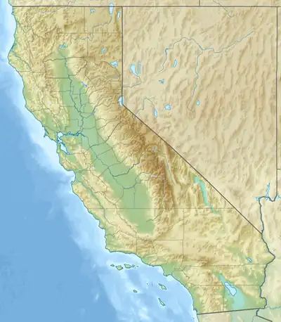  Bighorn Mountains Location within California | |
| Highest point | |
| Peak | Granite Peak |
| Elevation | 1,744 m (5,722 ft) |
| Geography | |
Country | United States |
State | California |
Region | Mojave Desert |
District | San Bernardino County |
Range coordinates | 34°18′27.015″N 116°37′30.080″W / 34.30750417°N 116.62502222°W |
| Topo map | USGS Bighorn Canyon |
The Bighorn Mountains are a mountain range of the Mojave Desert and Transverse Ranges, located in San Bernardino County, California.[1] They are primarily within a Bureau of Land Management (BLM) protected area.[2]
Geography
They are an eastern subrange of the San Bernardino Mountains. The Bighorn Mountains are located north of the Morongo Valley, northwest of Yucca Valley, directly south of the Johnson Valley, and southeast of the Lucerne Valley.[2]
They support an ecotone or ecological transition zone, that including Yuccas and Joshua trees on the desert floor and stands of Jeffrey Pine at higher elevations.[3]
Bighorn Mountain Wilderness Area
The 26,543 acres (10,742 ha) Bighorn Mountain Wilderness Area protects the north−central (BLM) and western areas of the range (San Bernardino National Forest).[2][3]
A section of the eastern Bighorn Mountains is protected within Sand to Snow National Monument.[4]
See also
References
- ↑ Cite error: The named reference
gniswas invoked but never defined (see the help page). - 1 2 3 "BLM California: Map of the Bighorn Mountains + Bighorn Mountain Wilderness Area" (PDF). Archived from the original (PDF) on April 15, 2016. Retrieved February 15, 2016.
- 1 2 "BLM: Bighorn Mountain Wilderness Area". Archived from the original on February 23, 2016. Retrieved February 15, 2016.
- ↑ BLM California: Map of Sand to Snow National Monument, with both BLM & USFS sections.
External links
- BLM California: official Bighorn Mountain Wilderness Area website
- BLM California: Bighorn Mountain Wilderness Area Brochure — with map.
- Mountain ranges of San Bernardino County, California
- Mountain ranges of the Mojave Desert
- San Bernardino Mountains
- Transverse Ranges
- Wilderness areas of California
- Bureau of Land Management areas in California
- Protected areas of San Bernardino County, California
- San Bernardino National Forest
- Sand to Snow National Monument
- Mountain ranges of Southern California
- San Bernardino County, California, geography stubs