Wiss Platte
| Wiss Platte | |
|---|---|
| Weissplatte | |
 The north side | |
| Highest point | |
| Elevation | 2,628 m (8,622 ft) |
| Prominence | 283 m (928 ft)[1] |
| Parent peak | Madrisa |
| Coordinates | 47°00′34″N 9°52′16″E / 47.00944°N 9.87111°E |
| Geography | |
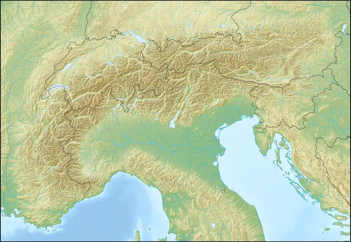  Wiss Platte Location within Alps | |
| Location | Graubünden, Switzerland Vorarlberg, Austria |
| Parent range | Rätikon |
The Wiss Platte (also known as Weissplatte or Weißplatte) is a mountain in the Rätikon range of the Alps, located on the border between Austria and Switzerland. It lies between Schruns (Vorarlberg) and St. Antönien (Graubünden).
Geology
The Sulzfluh limestone forming the upper slopes of the Wiss Platte is Tithonian in age.[2] The limestone was deposited in shallow water.[3](p894)
References
- ↑ Retrieved from the Swisstopo topographic maps. The key col is located west of the Plasseggenpass at 2,345 metres.
- ↑ Nagel, Thorsten (2006). "Structure of Austroalpine and Penninic units in the Tilisuna area (Eastern Rätikon, Austria): Implications for the paleogeographic position of the Allgäu and Lechtal nappes" (PDF). Eclogae Geologicae Helvetiae. 99 (2): 223–235. doi:10.1007/s00015-006-1192-y. Retrieved 24 July 2026.
- ↑ McCann, T, ed. (2008). "Jurassic". The Geology of Central Europe- Volume 2 Mesozoic and Cenozoic. Geological Society of London. pp. 823–922. ISBN 978-1862392656. Retrieved 24 July 2026.
External links

Wikimedia Commons has media related to Weißplatte (Rätikon).