White River (New Zealand)
| White River | |
|---|---|
 White River | |
Route of the White River | |
  Mouth of the White River 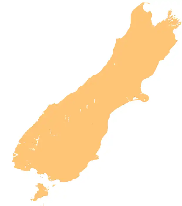 White River (New Zealand) (South Island) | |
| Location | |
| Country | New Zealand |
| Physical characteristics | |
| Source | White Glacier |
| • coordinates | 42°59′39″S 171°23′30″E / 42.9941°S 171.3918°E |
| Mouth | |
• location | Waimakariri River |
• coordinates | 42°57′28″S 171°27′00″E / 42.9579°S 171.4501°E |
| Basin features | |
| Progression | White River → Waimakariri River → Pegasus Bay → Pacific Ocean |
| Tributaries | |
| • left | Taipoiti River |
The White River is a river in the South Island of New Zealand.
It drains from the eastern flanks of the Southern Alps / Kā Tiritiri o te Moana into the Waimakariri River. It is accessible by getting to Klondike Corner on State Highway 73, following the Waimakariri up to Carrington Hut, and turning west.[1] The most common reason for travelling up the White river is to get to Barker Hut, a base for climbing Mounts Murchison, Wakeman and Harper. Following the river to its source takes the traveller to White Col.[2]
References
- ↑ "Harman-pass-route-guide" (PDF).
- ↑ "AOA_Mar_87_OCRO" (PDF).