West Riverside Mountains
| West Riverside Mountains | |
|---|---|
 (view to south) Aerial view of West Riverside Mountains & Riverside Mountains at center right. The Big Maria Mountains are above at right (on horizon) to the south. The small mountain range across the Colorado River in Arizona (to the east) is the Mesquite Mountains. | |
| Highest point | |
| Elevation | 803 m (2,635 ft) |
| Coordinates | 34°03′27″N 114°38′52″W / 34.05750°N 114.64778°W |
| Dimensions | |
| Length | 4.5 mi (7.2 km) north-south |
| Width | 3.8 mi (6.1 km) east-west |
| Geography | |
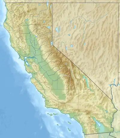  West Riverside Mountains Location within California | |
Country | United States |
State | California |
District | Riverside County |
Range coordinates | 34°03′28″N 114°38′52″W / 34.05778°N 114.64778°W |
| Topo map(s) | USGS Grommet, Vidal |
The West Riverside Mountains are a mountain range in eastern Riverside County, California.[1] They extend about 0.75 miles into San Bernardino County. The Riverside Mountains are 1 mile southeast; the Turtle Mountains are 9 miles to the northwest.
References
- ↑ Cite error: The named reference
gniswas invoked but never defined (see the help page).
See also