Uia di Ciamarella
| Uia di Ciamarella | |
|---|---|
 | |
| Highest point | |
| Elevation | 3,676 m (12,060 ft) |
| Prominence | 664 m (2,178 ft)[1] |
| Isolation | 8.78 km (5.46 mi) |
| Listing | Alpine mountains above 3000 m |
| Coordinates | 45°19′48″N 07°08′39″E / 45.33000°N 7.14417°E |
| Geography | |
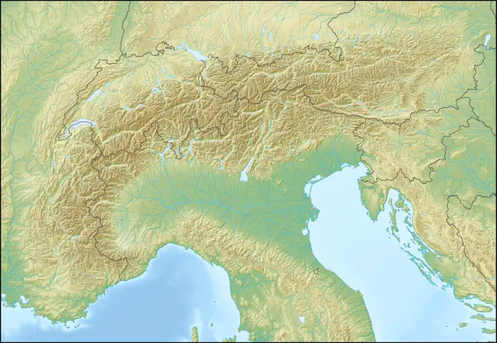  Uia di Ciamarella Location within Alps | |
| Location | Piedmont, Italy Rhône-Alpes, France |
| Parent range | Graian Alps |
Uia di Ciamarella or just Ciamarella (3,676 m) is a mountain of the Graian Alps on the border between France and Italy.
SOIUSA classification
According to the SOIUSA (International Standardized Mountain Subdivision of the Alps) the mountain can be classified in the following way:[2]
- main part = Western Alps
- major sector = North Western Alps
- section = Graian Alps
- subsection = South-Eastern Graian Alps
- supergroup = catena Arnas-Ciamarella (It) / chaîne Ouille d'Arbéon - Ciamarella (Fr)
- group = gruppo Ciamarella-Mondrone
- subgroup = sottogruppo della Ciamarella
- code = I/B-7.I-B.6.a
References
- ↑ Uja di Ciamarella, Italy, web page on www.peakbagger.com (accessed on March 2012)
- ↑ Marazzi, Sergio (2005). Atlante Orografico delle Alpi. SOIUSA (in Italian). Priuli & Verlucca. p. 134. ISBN 978-88-8068-273-8.
Maps
 Media related to Uia di Ciamarella at Wikimedia Commons
- French official cartography (Institut géographique national - IGN); on-line version: www.geoportail.fr
- Istituto Geografico Centrale - Carta dei sentieri e dei rifugi 1:50.000 nr 2 Valli di Lanzo e Moncenisio