Thunder Mountain (Amador County, California)
| Thunder Mountain | |
|---|---|
 Southwest aspect, with Silver Lake, July 2017 | |
| Highest point | |
| Elevation | 9,414 ft (2,869 m) NAVD 88[1] |
| Prominence | 330 ft (101 m)[1] |
| Listing | California county high points 16th |
| Coordinates | 38°40′27″N 120°05′27″W / 38.6740752°N 120.090742°W[2] |
| Geography | |
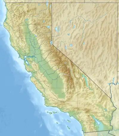  Thunder Mountain Location within California  Thunder Mountain Location within the United States | |
| Location | Amador County, California, U.S. |
| Parent range | Sierra Nevada |
| Topo map | USGS Caples Lake |
Thunder Mountain in the Sierra Nevada in Amador County, California, United States, east of Silver Lake and west of Kirkwood Mountain Resort[3] in the Eldorado National Forest.
Description

March 2018
The mountain has two peaks, the 9,414-foot (2,869 m) main peak[1] and a 9,412-foot (2,869 m) sub-peak west of the main peak.[4] The main summit is the highest point in Amador County.[1] Due to the high elevation, most precipitation that falls on Thunder Mountain consists of snow.[5]
The peak was named by United States Forest Service personnel because "thunderstorms appear to build up in that area."[6]
Climate
According to the Köppen climate classification system, Thunder Mountain is located in an alpine climate zone.[7] Most weather fronts originate in the Pacific Ocean and travel east toward the Sierra Nevada mountains. As fronts approach, they are forced upward by the peaks (orographic lift), causing them to drop their moisture in the form of rain or snowfall onto the range.
See also
References
- 1 2 3 4 "Thunder Mountain, California". Peakbagger.com. Retrieved August 6, 2009.
- ↑ "Thunder Mountain". Geographic Names Information System. United States Geological Survey, United States Department of the Interior. Retrieved August 6, 2009.
- ↑ Caples Lake quadrangle, California (Map). 1:24000. 7.5 Minute Topographic. USGS. Retrieved December 9, 2009.
- ↑ "Thunder Mountain-West Peak, California". Peakbagger.com. Retrieved August 6, 2009.
- ↑ "Subsection M261Ek - Glaciated Batholith and Volcanic Flows". USDA, Forest Service. Archived from the original on August 13, 2007. Retrieved December 3, 2007.
- ↑ Browning, Peter (1986). Place Names of the Sierra Nevada. Berkeley: Wilderness Press. p. 216. ISBN 0899971199.
- ↑ "Climate of the Sierra Nevada". Encyclopædia Britannica.
External links

- "Thunder Mountain (CA)". SummitPost.org.