The Palisades (Napa County)
| The Palisades | |
|---|---|
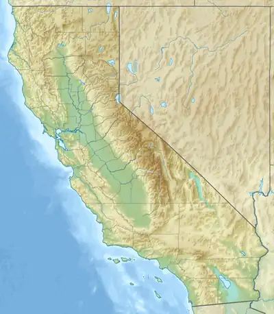  The Palisades Location within California | |
| Highest point | |
| Elevation | 761 m (2,497 ft) |
| Geography | |
Country | United States |
State | California |
District | Napa County |
Range coordinates | 38°38′9.663″N 122°34′2.938″W / 38.63601750°N 122.56748278°W |
| Topo map | USGS Detert Reservoir |
The Palisades are a mountain range in Napa County, California.[1] The Palisades are located in Robert Louis Stevenson State Park on the other side of California State Route 29 as Mt. St. Helena. The Palisades trailhead is located on the valley floor of the Napa Valley near Calistoga and is a 6-mile one way hike.
References
- ↑ Cite error: The named reference
gniswas invoked but never defined (see the help page).