Serra d'Ivrea
| Serra d'Ivrea | |
|---|---|
 View from Alice Superiore. | |
| Highest point | |
| Coordinates | 45°29′20″N 7°56′51″E / 45.488900°N 7.947600°E |
| Geography | |
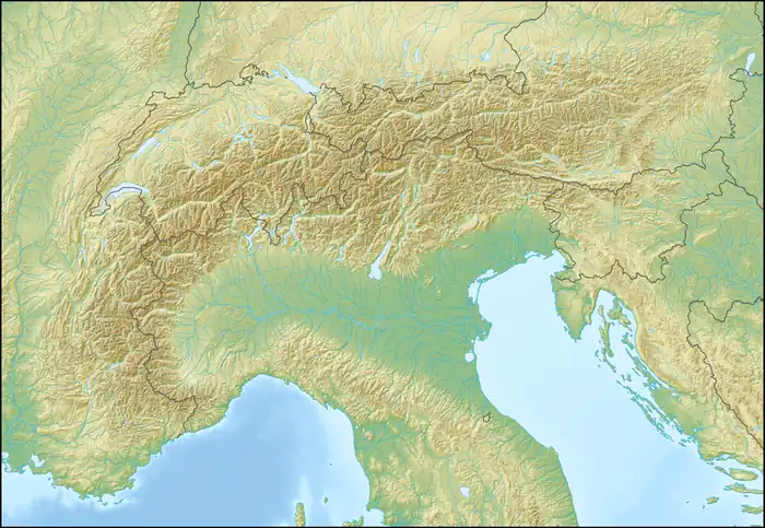  Serra d'Ivrea Location within Alps | |
| Location | Province of Turin / Province of Biella / Province of Vercelli, Italy |
The Serra d'Ivrea (Piedmontese: Sèra d'Ivrèja) is a glacial moraine ridge that forms part of the extensive Ivrea Morainic Amphitheatre in Piedmont, Italy. With a length of 25 km, it is the largest formation of its kind in Europe.[1][2]
Geography
The Serra d'Ivrea is located within the Canavese region near Ivrea, at the margin between the Alps and the Po Plain. It consists of a long, narrow ridge extending for about 20–25 km from the slopes of the Colma di Mombarone at the beginning of the Aosta Valley to Lake Viverone, with a markedly linear profile and a gradual decrease in elevation from west to east.[3] It reaches a relative height of up to 600 meters above the surrounding plain.
Geologically, the Serra d'Ivrea is a lateral moraine, formed by the accumulation of debris transported by the ancient glacier of the Dora Baltea during the Quaternary glaciations (particularly the Riss and Würm phases).[3]
Large portions of the relief are included in a protected area including extensive deciduous forests, wetlands, and agricultural patches.
Gallery


References
- ↑ "L'anfiteatro morenico di Ivrea: fasi glaciali e formazione morena". Carema Vini (in Italian). Retrieved 11 April 2026.
- ↑ Scavini, Andrea (1998). "Piccoli grandi viaggi: la via Francigena all'ombra della Serra d'Ivrea". Piemonte Parchi. Archived from the original on June 7, 2012. Retrieved November 23, 2010.
- 1 2 "Serra d'Ivrea". Enciclopedia Treccani (in Italian). Retrieved 11 April 2026.
External links
 Media related to Serra morenica di Ivrea at Wikimedia Commons