San Jose Creek (Monterey County, California)
| San Jose Creek | |
|---|---|
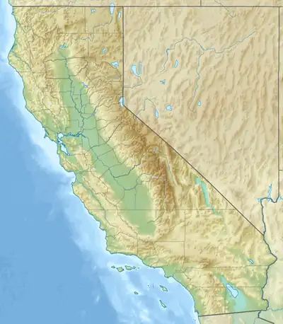  Location of the mouth of San Jose Creek | |
| Location | |
| Country | United States |
| State | California |
| Region | Monterey County |
| Physical characteristics | |
| Source | |
| • location | Chamisal Ridge[1] |
| • coordinates | 36°27′59″N 121°48′35″W / 36.46639°N 121.80972°W[2] |
| • elevation | 1,812 ft (552 m)[3] |
| Mouth | Monastery Beach, Pacific Ocean |
• location | 3.1 miles (5.0 km) south of Carmel |
• coordinates | 36°31′25″N 121°55′34″W / 36.52361°N 121.92611°W[2] |
• elevation | 0 ft (0 m)[3] |
| Basin features | |
| Tributaries | |
| • left | Seneca Creek[4] |
| • right | North Fork San Jose Creek[5] |
San Jose Creek is a west-flowing 9.5 miles (15.3 km) stream that begins on Chamisal Ridge in the northern Santa Lucia Range in Monterey County, California.[3] It is tributary to the Pacific Ocean at Monastery Beach[6]
History
The lands about San Jose Creek were originally inhabited by the Rumsen, a group of the Ohlone People. San Jose Creek is one of many California places named by the Spanish for Saint Joseph.[7] It runs through the Rancho Potrero de San Carlos Spanish land grant which is now a conservation community known as the Santa Lucia Preserve.
Ecology
San Jose Creek hosts spawning and rearing of federally threatened South-Central California Coast steelhead trout (Oncorhynchus mykiss) distinct population segment (DPS).[8]
References
- ↑ "Chamisal Ridge". Geographic Names Information System. United States Geological Survey, United States Department of the Interior.
- 1 2 "San Jose Creek". Geographic Names Information System. United States Geological Survey, United States Department of the Interior.
- 1 2 3 U.S. Geological Survey. National Hydrography Dataset high-resolution flowline data. The National Map Archived 2012-03-29 at the Wayback Machine, accessed July 23, 2026
- ↑ "Seneca Creek". Geographic Names Information System. United States Geological Survey, United States Department of the Interior.
- ↑ "North Fork San Jose Creek". Geographic Names Information System. United States Geological Survey, United States Department of the Interior.
- ↑ "Monastery Beach". Geographic Names Information System. United States Geological Survey, United States Department of the Interior. 3.1 miles (5.0 km) south of Carmel.
- ↑ Erwin G. Gudde, William Bright (1998). California Place Names. The Origin and Etymology of Current Geographical Names. Berkeley, California: University of California Press. p. 338. ISBN 978-0-520-26619-3.
- ↑ Zachary Croyle (2009). Analysis of Baseflow Trends Related to Upland Groundwater Pumping for Las Garzas, San Clemente, Potrero, and San Jose Creeks (Thesis). Seaside, California: California State University, Monterey Bay. p. 106. Retrieved July 23, 2026.
Category: