Saline Range
| Saline Range | |
|---|---|
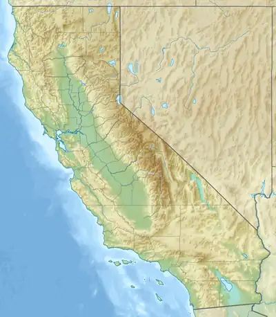  Saline Range Location within California | |
| Highest point | |
| Elevation | 1,999 m (6,558 ft) |
| Geography | |
Country | United States |
State | California |
District | Inyo County |
Range coordinates | 37°0′50.756″N 117°47′16.291″W / 37.01409889°N 117.78785861°W |
| Topo map | USGS East of Waucoba Spring |
The Saline Range is a mountain range in Inyo County, California, within Death Valley National Park.[1]
Geography
The Saline Range is to the northwest of Death Valley and frames the eastern side of the Saline Valley. The Inyo Mountains form the western side. To the east is the Last Chance Range, and to the south the Nelson Range.
References
- ↑ Cite error: The named reference
gniswas invoked but never defined (see the help page).
See also