Roc du Bécoin
| Roc du Bécoin | |
|---|---|
 East aspect | |
| Highest point | |
| Elevation | 2,594 m (8,510 ft)[1][2] |
| Prominence | 327 m (1,073 ft)[3] |
| Parent peak | Gran Paradiso[3] |
| Isolation | 9.38 km (5.83 mi)[1] |
| Listing | Mountains of the Alps |
| Coordinates | 45°29′33″N 6°39′50″E / 45.492482°N 6.663865°E[3] |
| Geography | |
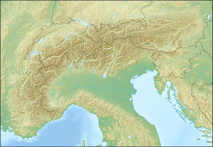  Roc du Bécoin Location within Alps  Roc du Bécoin Location within France | |
| Interactive map of Roc du Bécoin | |
Country | France |
| Savoie[3] | |
Region | Auvergne-Rhône-Alpes |
| Parent range | Alps Graian Alps Vanoise Massif |
| Climbing | |
| Easiest route | Trail |
Roc du Bécoin is a mountain in the Auvergne-Rhône-Alpes region of France.
Description
Roc du Bécoin is a 2,594-metre-elevation (8,510-foot) summit in the Vanoise Massif of the French Alps. Precipitation runoff from the mountain drains into tributaries of the Isère. Topographic relief is significant as the summit rises 1,800 metres (5,906 feet) above the community of Bozel in five kilometres (3.1 mi). The summit can be reached via a trail.[3]
Climate
According to the Köppen climate classification system, Roc du Bécoin is located in an alpine climate zone.[4] Weather fronts are forced upward by the Alps (orographic lift), causing moisture to drop in the form of rain or snowfall onto the range. This climate supports the La Plagne ski resort on the northeastern slope of the peak.
Gallery
 Northeast aspect viewed from Plagne Villages
 Roc du Bécoin centered on skyline


See also
References
- 1 2 "Roc du Bécoin". Peakbagger.com. Retrieved 14 September 2025.
- ↑ Roc du Bécoin, Camptocamp.org, Retrieved 14 September 2025.
- 1 2 3 4 5 "Roc du Bécoin". peakvisor.com. Retrieved 14 September 2025.
- ↑ Peel, M. C.; Finlayson, B. L.; McMahon, T. A. (2007). "Updated world map of the Köppen-Geiger climate classification" (PDF). Hydrology and Earth System Sciences. 11 (5): 1633–1644. Bibcode:2007HESS...11.1633P. doi:10.5194/hess-11-1633-2007. Archived (PDF) from the original on 2019-12-02. Retrieved 2025-11-07.
External links

- Weather: Roc du Bécoin
- Roc du Bécoin photo: Flickr
Places adjacent to Roc du Bécoin | ||||||||||||||||
|---|---|---|---|---|---|---|---|---|---|---|---|---|---|---|---|---|
| ||||||||||||||||


