Passo Frontè
| Passo Frontè | |
|---|---|
 Passo Frontè from Cima Garlenda | |
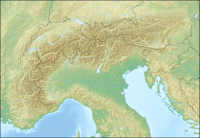  Passo Frontè Location within Alps | |
| Elevation | 2,081 m (6,827 ft)[1] |
| Traversed by | Alta Via dei Monti Liguri |
| Third Approach | |
| Location | Liguria, Italy |
| Range | Ligurian Alps |
| Coordinates | 44°03′32″N 7°45′27″E / 44.05889°N 7.75750°E |
Passo Frontè (2081 m) is a mountain pass in the Province of Imperia (Italy).[1] It connects Montegrosso Pian Latte, located in the Arroscia Valley, with Monesi di Triora (Tanaro Valley).
Geography
Passo Frontè is located on the main chain of the Alps between Monte Frontè (2152 m) and cima Garlenda (2041 m). Near the pass there are some ruins of an old barrak.[1]
Hiking

The pass is accessible by off-road mountain paths coming from the nearby valleys and is crossed by the Alta Via dei Monti Liguri, a long-distance trail from Ventimiglia (province of Imperia) to Bolano (province of La Spezia).[2]
During snowy winters the pass can also be reached with snowshoes.[3]
Mountain huts
- Rifugio Sanremo (2,054 m)
See also
References
- 1 2 3 Saccarello (Monte) e Monte Frontè da Case Penna, itinerary description of user muncamapa on www.gulliver.it (access: August 1st, 2015)
- ↑ Raccordo n. 09 (Montegrosso Pian Latte - Passo Frontè), itinerary on www.altaviadeimontiliguri.it Deprecated link archived 2015-08-01 at archive.today (access: August 1st, 2015)
- ↑ Frontè (Monte) da Monesino e la Cima Garlenda, itinerary description of user Giada on www.gulliver.it (access: August 1st, 2015)
 Media related to Passo Frontè at Wikimedia Commons