Mount Giavino
| Mount Giavino | |
|---|---|
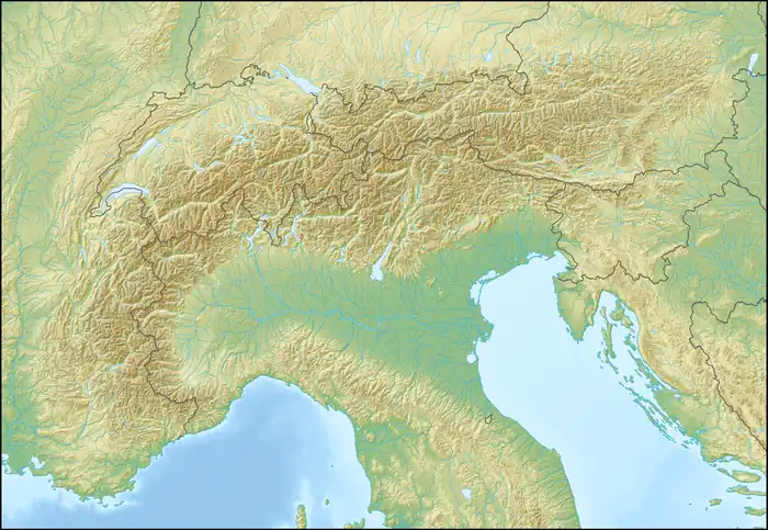  Mount Giavino Location within Alps | |
| Highest point | |
| Elevation | 2,766 m (9,075 ft)[1][2] |
| Prominence | 26 m (85 ft) |
| Coordinates | 45°30′44″N 7°37′30″E / 45.5121966°N 7.6249479°E |
| Geography | |
| Location | Piedmont, Italy |
Mount Giavino (Italian: Monte Giavino, French: Mont Giavin) is a 2,766 m (9,075 ft) tall mountain of the Graian Alps in northern Italy. Its summit lies on the border between the municipalities of Traversella and Frassinetto in Piedmont, Italy.
Description
Mount Giavino stands along the ridge that forms the divide between the Chiusella Valley to the east and the Soana Valley to the west. The ridge reaches its highest point at Monfandì (2,820 m, 9,250 ft), located about 1.5 km (0.93 mi) north of Mount Giavino's summit.
SOIUSA classification
According to the SOIUSA (International Standardized Mountain Subdivision of the Alps) the mountain can be classified in the following way:
- main part = Western Alps
- major sector = North Western Alps
- section = Graian Alps
- subsection = Alpi del Gran Paradiso
- supergroup = Gruppo della Rosa dei Banchi
- group = Costiera del Monte Giavino
Ascent
The summit of Mount Giavino is most commonly reached from Fondo, a hamlet of Traversella in the Chiusella Valley. The route follows the upper part of the valley before ascending towards the Colle Artisol and then continuing along the eastern crest to the summit.[3]
References
- ↑ "Monte Giavino, Italy". Peakbagger.com (in Italian). Retrieved 23 August 2026.
- ↑ "Nodo: Monte Giavino (3822368037)". OpenStreetMap (in Italian). 14 January 2020. Retrieved 23 August 2026.
- ↑ "Giavino (Monte) e Punta della Mionda da Fondo". Gulliver (in Italian). 12 January 2024. Retrieved 23 August 2026.