Lago di Livigno
| Lago di Livigno | |
|---|---|
 | |
  Lago di Livigno Location within Canton of Graubünden  Lago di Livigno Location within Switzerland  Lago di Livigno Location within Lombardy  Lago di Livigno Location within Italy 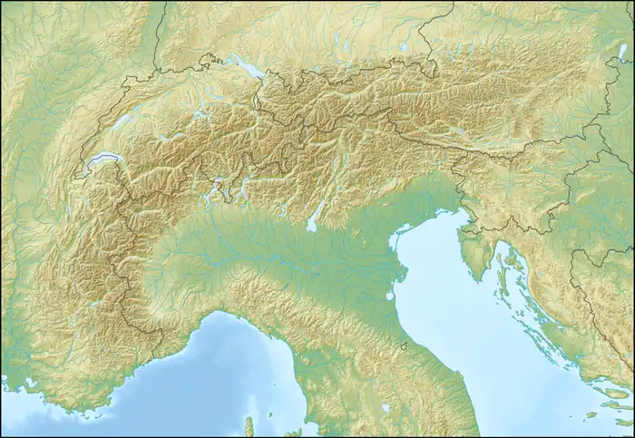 Lago di Livigno Location within Alps | |
Interactive map of Lago di Livigno | |
| Location | Grisons, Lombardy |
| Coordinates | 46°37′20″N 10°11′36″E / 46.62222°N 10.19333°E |
| Spöl, Acqua del Gallo, Canale Torto, Torrente Federia | |
| Spöl | |
| 295 km2 (114 sq mi) | |
| Basin countries | Italy, Switzerland |
Surface area | 4.71 km2 (1.82 sq mi) |
| Max. depth | 119 m (390 ft) |
Water volume | 164.6×10⁶ m3 (5.81×10⁹ cu ft) |
Surface elevation | 1,805 m (5,922 ft) |
| Settlements | Livigno |
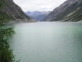
Lago di Livigno or Lago del Gallo is a reservoir in the Livigno valley.[1] The reservoir is mostly in Italy whereas the Punt dal Gall arch dam is crossed by the border with Switzerland (Zernez, Grisons).[1]
The reservoir's surface area is 4.71 km². It has a capacity of 164 million m³. Its minimum and maximum water levels above sea level are at 1,700 metres and 1,805 metres respectively.
The first filling began on 16 October 1968 with 50 million m³ of water.[2]
Since its construction, this reservoir had been off-limits for any activity, such as wind-surfing or rowing, until the summer of 2005, when Italy's National Rowing team was authorized to train on the lake.

See also
References
- 1 2 "Maps of Switzerland - Swiss Confederation - map.geo.admin.ch". map.geo.admin.ch. Retrieved 2026-03-11.
- ↑ "Staubeginn bei den Engadiner Kraftwerken". Neue Zürcher Zeitung. No. 655 (2nd ed.). 23 October 1968. p. 3. Retrieved 11 March 2026 – via e-newspaperarchives.ch.
External links
 Media related to Lago di Livigno at Wikimedia Commons