Kyaw, Tilin Township
Kyaw
ကျော် | |
|---|---|
village | |
  Kyaw Location in Burma. | |
| Coordinates: 21°38′38″N 94°17′43″E / 21.64389°N 94.29528°E | |
| Country |  Burma |
| Region | Magway Region |
| District | Gangaw |
| Township | Tilin |
| Elevation | 539 m (1,768 ft) |
| Time zone | UTC+6.30 (MST) |
Kyaw[1] is a town in Tilin Township, Gangaw District, in the north-western part of the Magway Region in Myanmar. Kyaw lies on the left (eastern) bank of the Pindaung River.[2]
Notes
- ↑ "Kyaw" GeoNames
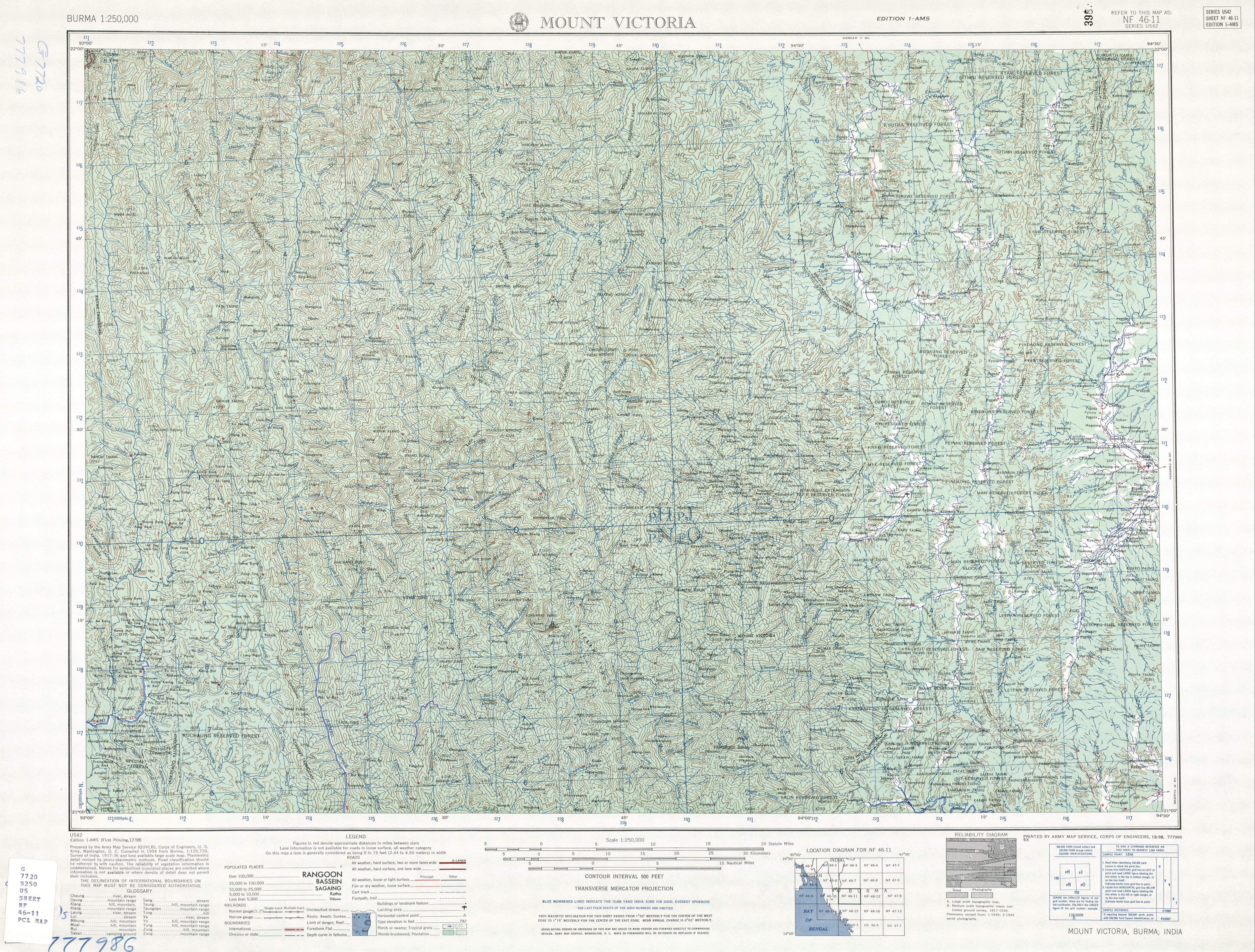
- ↑ Burma 1:250,000 topographic map, Series U542, NF 46-11 Mount Victoria U.S. Army Map Service, October 1961
External links
- "Kyaw Map — Satellite Images of Kyaw" Maplandia
Capital: Magway | ||
| Gangaw District |
|   |
| Magway District | ||
| Chauk District | ||
| Minbu District | ||
| Pakokku District | ||
| Thayet District | ||
| Aunglan District | ||
| Main cities and towns | ||