Dunărea (river)
| Dunărea | |
|---|---|
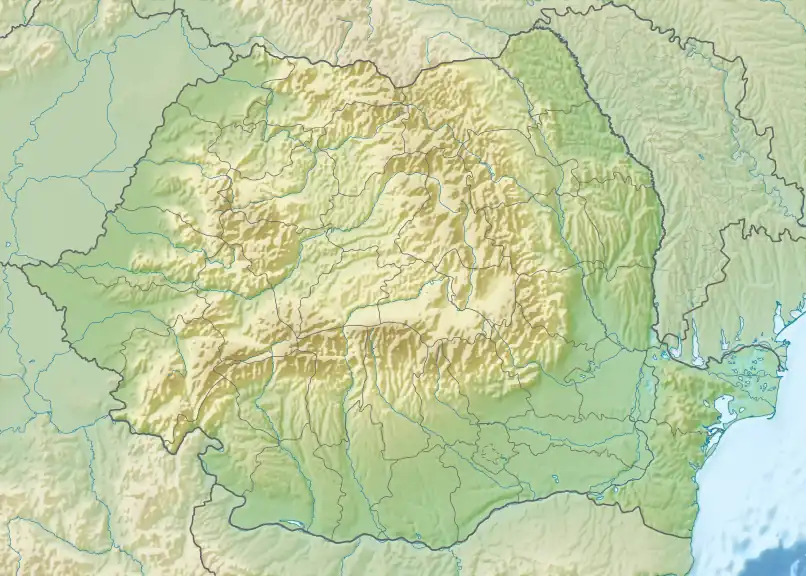  Location within Romania | |
| Location | |
| Country | Romania |
| Counties | Constanța County |
| Villages | Crucea, Băltăgești, Dunărea |
| Physical characteristics | |
| Source | |
| • elevation | 120 m (390 ft) |
| Mouth | Danube |
• coordinates | 44°26′17″N 28°06′50″E / 44.4381°N 28.1140°E |
• elevation | 6 m (20 ft) |
| Length | 23 km (14 mi) |
Basin size | 148 km2 (57 sq mi) |
| Basin features | |
| Progression | Danube→ Black Sea |
| Tributaries | |
| • left | Crucea, Băltăgești |
River code | XIV.1.44 |
The Dunărea is a right tributary of the Danube in Romania.[1][2] It flows into the Danube in the village Dunărea. Its length is 23 km (14 mi) and its basin size is 148 km2 (57 sq mi).[1] Its source is at 120 m (390 ft) elevation,[1] north of the village Crucea.
References
- 1 2 3 Atlasul cadastrului apelor din România. Partea 1 (in Romanian). Bucharest: Ministerul Mediului. 1992. p. 483. OCLC 895459847. River code: XIV.1.44
- ↑ Cursuri de apă din județul Constanța înscrise în Cadastrul Apelor din România