Cypress Creek (Texas)
| Cypress Creek | |
|---|---|
 | |
 Cypress Creek in the San Jacinto Watershed | |
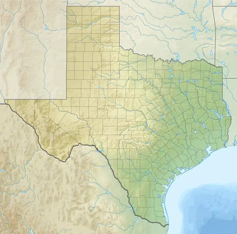  Location within Texas  Location within the United States | |
| Location | |
| Country | United States |
| Physical characteristics | |
| Source | |
| • location | Texas |
| • coordinates | 29°57′00″N 95°53′32″W / 29.9499462°N 95.8921752°W |
| Mouth | |
• location | Spring Creek |
• coordinates | 30°01′58″N 95°18′42″W / 30.0327195°N 95.3116015°W |
| Length | 49 mi (79 km) |
Basin size | San Jacinto River |
Cypress Creek is a stream that flows from Snake Creek and Mound Creek in Waller County, Texas to its mouth at Spring Creek in Harris County, Texas. It is part of the Cypress Creek watershed, and flows into the west fork of the San Jacinto River watershed- eventually flowing to the Gulf of Mexico.
The banks of this creek were a settling location for German immigrants in the 1840s. The settlement was later named the city of Cypress, Texas.
Not to be confused with Cypress Creek (Texas) which flows through Wimberley, Texas
See also
References
- "An Analysis of Texas Waterways". Retrieved May 4, 2006.
- U.S. Geological Survey Geographic Names Information System: Cypress Creek (Texas)
- "Harris County Flood Control District". Archived from the original on April 3, 2013. Retrieved August 12, 2013.
- "Texas State Historical Association "Cypress Creek (Waller County)"". Retrieved August 12, 2013.
- USGS Hydrologic Unit Map - State of Texas (1974)