Cururu River (Tapajós River tributary)
| Cururu River | |
|---|---|
 Waro Apompu: Munduruku village on the Cururu | |
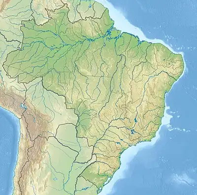  Location within Brazil | |
| Native name | Rio Cururu (Portuguese) |
| Location | |
| Country | Brazil |
| Physical characteristics | |
| Source | |
| • location | Pará state |
| Mouth | |
• coordinates | 7°13′38″S 58°08′00″W / 7.227222°S 58.133333°W |
| Basin features | |
| River system | Tapajós |
The Cururu River is a river of Pará state in north-central Brazil. It is a right tributary of the Tapajós; the mouth is located on the eastern side of the Tapajós about 15 km (9.3 mi) north of the Juruena–Teles Pires junction.
The river flows through the Itaituba I National Forest, a 220,639 hectares (545,210 acres) sustainable use conservation area established in 1998.[1] The lower part of the river flows through the Mundurucu Indigenous Territory.[2]
See also
References
- ↑ Unidade de Conservação: Floresta Nacional de Itaituba I (in Portuguese), MMA: Ministério do Meio Ambiente, retrieved 2016-05-29
{{citation}}: CS1 maint: publisher location (link) - ↑ Melo, Juliana; Villanueva, Rosa Elisa (2008), Levantamento Etnoecológico MUNDURUKU Terra Indígena Munduruku (PDF), Brasília: FUNAI – Fundação Nacional do Índio / PPTAL – Projeto Integrado de Proteção às Populações e Terras Indígenas da Amazônia Legal / GTZ – Deutsche Gesellschaft für Technische Zussamenarbeit (GTZ) GmbH, p. 21ff, archived from the original (PDF) on 2017-02-15, retrieved 2017-02-14
Categories: