Chouzavá
Chouzavá | |
|---|---|
Village | |
 View through the Chouzavá cottage area towards Kytín | |
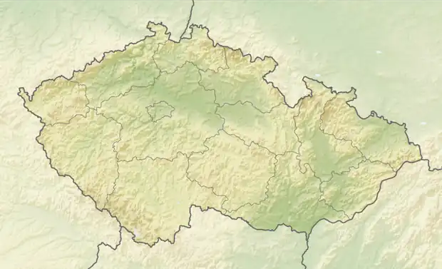  Chouzavá Location in the Czech Republic | |
| Coordinates: 49°50′12″N 14°13′37″E / 49.83667°N 14.22694°E | |
| Country |  Czech Republic |
| Region | Central Bohemian |
| District | Příbram |
| Municipality | Voznice |
| First mentioned | 1603 |
| Area | |
• Total | 1.97 km2 (0.76 sq mi) |
| Elevation | 425 m (1,394 ft) |
| Population (2021)[1] | |
• Total | 102 |
| • Density | 51.8/km2 (134/sq mi) |
| Time zone | UTC+1 (CET) |
| • Summer (DST) | UTC+2 (CEST) |
| Postal code | 263 01 |
Chouzavá is a village and municipal part of Voznice in Příbram District in the Central Bohemian Region of the Czech Republic. It has about 100 inhabitants.
Etamology
The initial name of the village was Chouzava. It was probably first the name of the stream by which the village is located, and the name was transferred to the village. The name of the stream was most likely derived from the Czech word chudý ('poor').[2]
Geography
Chouzavá is located in the northern part of the Voznice municipality, about 26 kilometres (16 mi) southwest of Prague The settlement of Chouzavá itself lies on the border of districts and is divided into two basic settlement units into two municipalities:
- Chouzavá I – basic settlement unit and municipal part of Voznice (Příbram District)
- Chouzavá II – basic settlement unit in the municipality of Kytín (Prague-West District)
History
The first written mention of Chouzavá is from 1603.[3]
During 1900–1949, Chouzavá was a settlement of the town of Dobříš in the Příbram District. In 1950, the municipality of Voznice and the settlement of Chouzavá separated from the municipality of Dobříš.[4][5]
Demographics
Historical population | ||||||||||||||||||||||||||||||||||||||||||||||||||||||||
|
|
| ||||||||||||||||||||||||||||||||||||||||||||||||||||||
| Source: Censuses[6][1] | ||||||||||||||||||||||||||||||||||||||||||||||||||||||||
Transport
The D4 motorway from Prague to Písek runs east of the village, just beyond its territory.
Sights
There are no protected cultural monuments in Chouzavá.[7]
References
- 1 2 "Výsledky sčítání 2021 - otevřená data" (in Czech). Czech Statistical Office. 2022-11-01. Retrieved 2026-03-30.
- ↑ Profous, Antonín (1949). Místní jména v Čechách II: CH–L (in Czech). p. 49.
- ↑ "Historický lexikon obcí České republiky - 1869 - 2005" (in Czech). Czech Statistical Office. 2004-12-31. Retrieved 2026-03-30.
- ↑ "Vyhláška ministra vnitra č. 13/1951 Sb., o změnách úředních názvů míst v roce 1950" (PDF). mvcr.cz (in Czech). Ministry of the Interior. 1951-03-03. Retrieved 2026-03-30.
- ↑ "Historický lexikon obcí České republiky – 1869–2011. Díl IV. Abecední přehled obcí a částí obcí" (PDF) (in Czech). Czech Statistical Office. 2015-12-21. Retrieved 2026-03-30.
- ↑ "Historický lexikon obcí České republiky 1869–2011" (in Czech). Czech Statistical Office. 2015-12-21. Retrieved 2026-03-30.
- ↑ "Výsledky vyhledávání: Kulturní památky, část obce Chouzavá". Ústřední seznam kulturních památek (in Czech). National Heritage Institute. Retrieved 2026-04-10.