Calico Peaks
| Calico Peaks | |
|---|---|
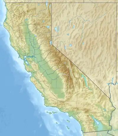  Calico Peaks Location within California | |
| Highest point | |
| Peak | Calico Peak |
| Elevation | 4,542 ft (1,384 m) NAVD 88[1] |
| Coordinates | 34°59′44″N 116°50′18″W / 34.995511669°N 116.838416036°W[1] |
| Geography | |
Country | United States |
State | California |
Region | Mojave Desert |
District(s) | San Bernardino County & Inyo County |
Range coordinates | 35°59′04″N 116°29′01″W / 35.9844039°N 116.483646°W |
| Parent range | Calico Mountains |
| Topo map(s) | USGS Salsberry Peak, Yermo |
The Calico Peaks are geologically and historically colorful mountains in the Calico Mountains Range in the Mojave Desert of San Bernardino County and Inyo County, California.[2] They are located just north of Barstow, Yermo, and Interstate 15.
Peaks
Calico Peak is 4,542 feet (1,384 m) in elevation in the San Bernardino County portion.[1]
Features
The Rainbow Basin geologic feature, in the Bureau of Land Management-managed Rainbow Basin Natural Area, and Calico Ghost Town are located below the Calico Peaks in the Yermo Hills. The Calico Early Man Site, a prehistoric Native American archaeological site, is in the mountains also.
References
- 1 2 3 "Calico". NGS Data Sheet. National Geodetic Survey, National Oceanic and Atmospheric Administration, United States Department of Commerce. Retrieved February 26, 2014.
- ↑ Cite error: The named reference
gniswas invoked but never defined (see the help page).
External links
- Official Rainbow Basin Natural Area website
- Calico Ghost Town website
- "Calico Peak, California". Peakbagger.com.
- "Calico Peak". Geographic Names Information System. United States Geological Survey, United States Department of the Interior.